How Can Satellite Data Be Used to Improve Climate Change Models?
Climate change is a pressing global issue with far-reaching impacts on the environment, society, and the economy. Accurate climate change models are essential for predicting future climate scenarios and developing effective mitigation and adaptation strategies. Satellite data, with its global coverage, high temporal resolution, and diverse range of measurements, offers a valuable source of information for improving climate change models.

1. Satellite Data For Atmospheric Monitoring:
Satellites equipped with advanced sensors can monitor various atmospheric parameters, including temperature, humidity, wind speed, and direction. This data is crucial for understanding atmospheric dynamics and improving weather and climate forecasts. Satellite data has been instrumental in studying atmospheric phenomena such as cyclones, droughts, and heatwaves, providing valuable insights into their behavior and impacts.
2. Satellite Data For Ocean Monitoring:
Satellites play a vital role in monitoring ocean surface temperature, sea level, and ocean currents. Oceans play a significant role in regulating Earth's climate, and accurate ocean data is essential for climate modeling. Satellite data has been used to study ocean phenomena such as El Niño-Southern Oscillation (ENSO) and ocean acidification, helping scientists understand their impacts on climate and marine ecosystems.
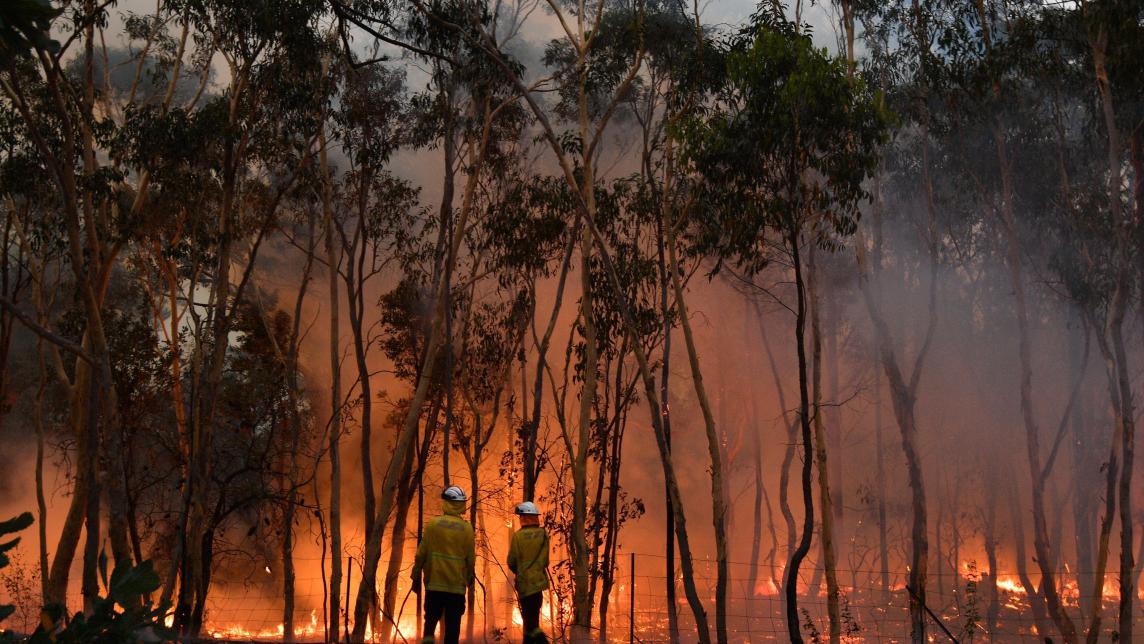
3. Satellite Data For Land Surface Monitoring:

Satellites provide valuable information about land surface temperature, vegetation cover, and soil moisture. These parameters are crucial for understanding the interactions between land and atmosphere and their role in climate change. Satellite data has been used to study land surface processes such as deforestation, desertification, and agricultural practices, contributing to a better understanding of their impacts on climate and ecosystems.
4. Satellite Data For Cryosphere Monitoring:
Satellites monitor sea ice extent, ice sheet thickness, and glacier movement, providing critical data for understanding the impacts of climate change on polar regions and sea level rise. Satellite data has been used to study cryosphere processes such as ice sheet collapse and sea ice loss, helping scientists assess the vulnerability of these regions to climate change.
5. Satellite Data For Greenhouse Gas Monitoring:
Satellites can measure greenhouse gas concentrations, such as carbon dioxide, methane, and nitrous oxide, in the atmosphere. This data is essential for understanding the sources and sinks of these gases and their role in climate change. Satellite data has been used to study greenhouse gas emissions from natural and human-induced sources, providing valuable information for climate change mitigation efforts.
Satellite data has emerged as a powerful tool for improving climate change models. Its global coverage, high temporal resolution, and diverse range of measurements provide valuable information for understanding atmospheric dynamics, ocean processes, land surface interactions, and cryosphere changes. By incorporating satellite data into climate models, scientists can develop more accurate predictions of future climate scenarios and inform effective climate change mitigation and adaptation strategies. Continued investment in satellite missions and data analysis capabilities is crucial for advancing our understanding of climate change and addressing its global impacts.
YesNo

Leave a Reply