8 minute read
How Can Satellite Data Be Used to Identify Areas of Drought or Water Stress?
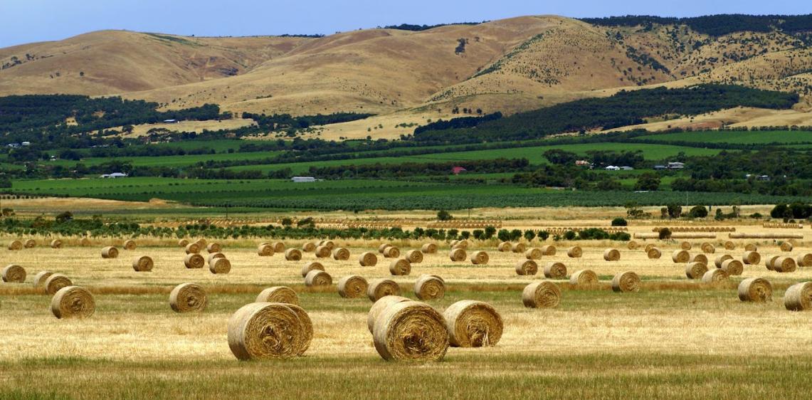
Drought and water stress are major challenges that affect agriculture, water resources, and ecosystems worldwide. Identi ...
Continue Reading