How Can Satellite Data Be Used to Promote Social Equity in Urban Planning?
Satellite data has revolutionized the way we understand and manage our planet. From tracking climate change to monitoring deforestation, satellite data provides valuable insights that can help us make informed decisions about how to shape our cities and communities. In recent years, there has been growing interest in using satellite data to promote social equity in urban planning.
Satellite Data And Social Equity
Social equity in urban planning refers to the fair and just distribution of resources and opportunities among all members of a community. This includes access to affordable housing, quality education, healthcare, and green spaces. Satellite data can be used to assess and address social inequities in a number of ways.
- Identifying Vulnerable Populations: Satellite data can be used to identify vulnerable populations, such as those living in poverty or in areas with high crime rates. This information can then be used to target resources and services to these communities.
- Monitoring Segregation: Satellite data can be used to monitor segregation patterns and identify areas where there is a lack of diversity. This information can be used to develop policies and programs to promote integration and reduce social isolation.
- Assessing Access to Amenities: Satellite data can be used to assess access to amenities, such as parks, schools, and grocery stores. This information can be used to identify areas where there is a lack of access to these essential services and to develop plans to improve access.
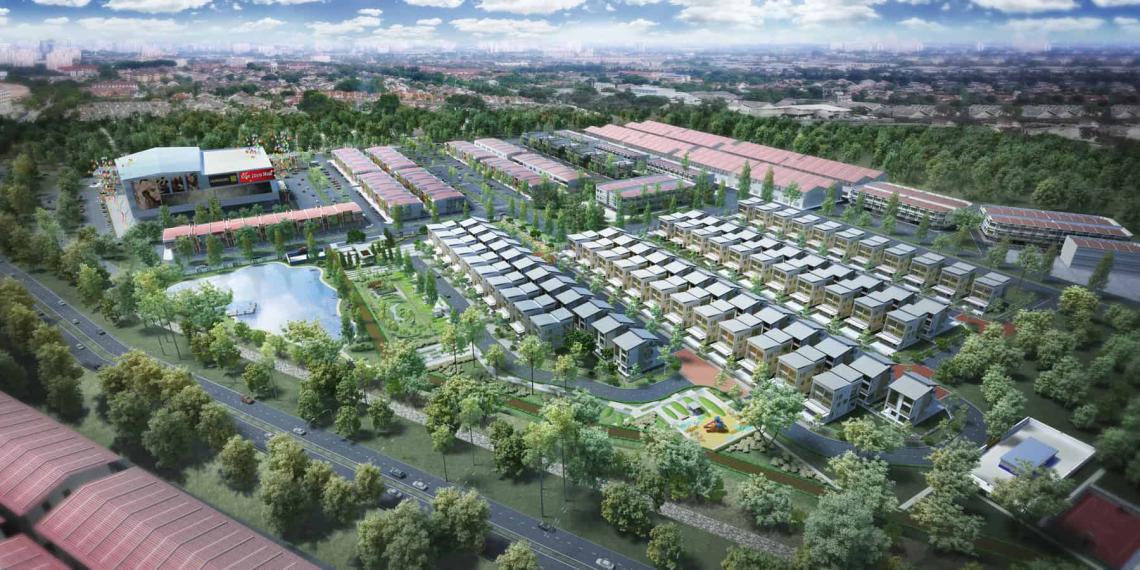
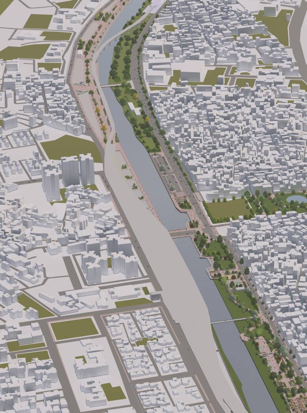
Applications Of Satellite Data In Urban Planning
There are a number of specific examples of how satellite data has been used to promote social equity in urban planning.
- In Chicago, satellite data was used to identify areas with high rates of lead poisoning. This information was then used to target resources to these areas and to develop policies to reduce lead exposure.
- In New York City, satellite data was used to monitor segregation patterns and to identify areas where there was a lack of diversity. This information was then used to develop policies and programs to promote integration and reduce social isolation.
- In San Francisco, satellite data was used to assess access to parks and other green spaces. This information was then used to develop plans to improve access to these essential amenities.
Benefits Of Using Satellite Data For Social Equity
There are a number of advantages to using satellite data for promoting social equity.
- Cost-Effectiveness: Satellite data is relatively inexpensive to collect and analyze, making it a cost-effective way to assess and address social inequities.
- Accessibility: Satellite data is readily available and can be accessed by a wide range of stakeholders, including policymakers, urban planners, and community organizations.
- Timeliness: Satellite data is collected on a regular basis, providing up-to-date information on social and environmental conditions.
Challenges And Limitations
There are also a number of challenges and limitations associated with using satellite data for social equity.
- Data Integration: Satellite data often needs to be integrated with other data sources, such as census data or crime statistics, in order to be useful for social equity analysis.
- Capacity Building: There is a need for capacity building to ensure that policymakers and urban planners have the skills and knowledge necessary to use satellite data effectively.
- Ethical Considerations: There are a number of ethical considerations that need to be taken into account when using satellite data for social equity analysis, such as the privacy of individuals and the potential for discrimination.
Future Prospects And Recommendations
There are a number of emerging trends and advancements in satellite technology that have the potential to further improve the use of satellite data for social equity.
- Increased Resolution: Satellites are becoming increasingly sophisticated, allowing for the collection of data with higher resolution. This will make it possible to identify and track social inequities at a more granular level.
- Real-Time Data: Satellites are also becoming capable of collecting data in real time. This will make it possible to monitor social and environmental conditions in near real time, allowing for more timely interventions.
- Artificial Intelligence: Artificial intelligence (AI) is being used to develop new methods for analyzing satellite data. This will make it possible to extract more insights from satellite data and to identify social inequities that would be difficult to identify using traditional methods.
In order to fully realize the potential of satellite data for promoting social equity, it is important for policymakers, urban planners, and stakeholders to work together to address the challenges and limitations associated with using satellite data. This includes investing in capacity building, developing ethical guidelines, and promoting collaboration between different stakeholders.
Satellite data has the potential to be a powerful tool for promoting social equity in urban planning. By providing timely and accurate information on social and environmental conditions, satellite data can help policymakers and urban planners identify and address inequities in a more effective and efficient way. As satellite technology continues to advance, the potential for using satellite data to promote social equity will only grow.
YesNo

Leave a Reply