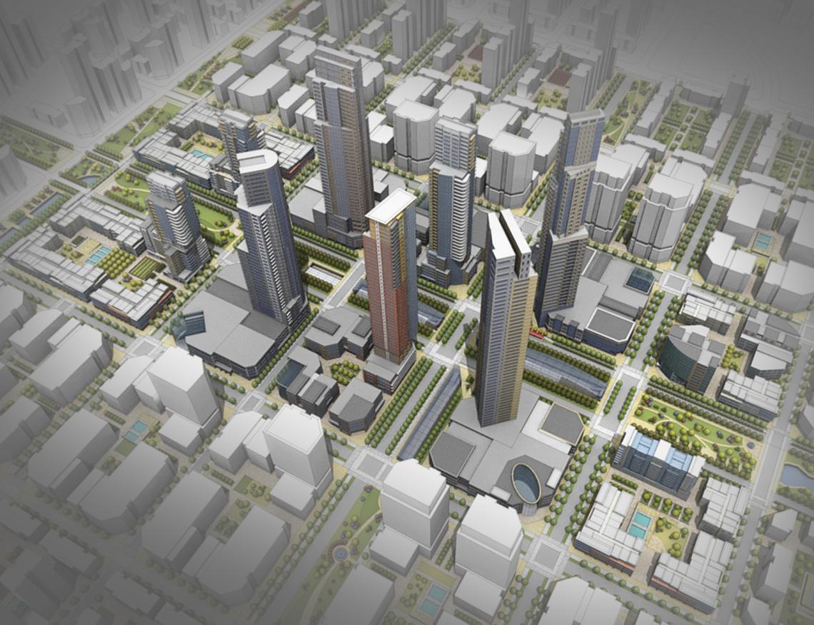
How Can Satellite Data Be Used to Promote Sustainable Urban Development?
Sustainable urban development is a critical approach to managing the growth and expansion of cities while minimizing their environmental impact and ensuring social equity. Satellite data has emerged as a powerful tool in promoting sustainable urban development by providing valuable insights into various aspects of urban environments.

Applications Of Satellite Data In Sustainable Urban Development:
- Land Use and Planning: Satellite imagery provides detailed information for land use mapping and monitoring. It helps identify urban sprawl, land use changes, and supports land use planning and zoning regulations.
- Urban Infrastructure and Services: Satellite data enables the mapping and monitoring of infrastructure networks, such as roads, water pipelines, and electricity grids. It helps identify gaps and inefficiencies in infrastructure services, allowing for targeted planning and improvement.
- Environmental Monitoring and Management: Satellite data is used to monitor air quality, water quality, and vegetation cover. It helps identify pollution sources, environmental degradation, and supports the implementation of environmental policies and regulations.
- Disaster Risk Reduction and Management: Satellite data is valuable in mapping and monitoring disaster-prone areas. It enables the development of early warning systems for natural disasters and supports disaster preparedness and response efforts.
- Urban Mobility and Transportation: Satellite data provides insights into traffic patterns and congestion hotspots. It aids in planning sustainable transportation systems, including public transportation networks and pedestrian-friendly infrastructure.
Benefits Of Using Satellite Data For Sustainable Urban Development:
- Comprehensive and Accurate Data: Satellite data offers a comprehensive view of urban areas, providing high-resolution imagery and accurate data for analysis and decision-making.
- Real-Time Monitoring and Analysis: Satellite data enables real-time monitoring of urban dynamics, allowing for timely information for decision-making and policy formulation.
- Cost-Effective and Scalable: Satellite data is cost-effective compared to traditional data collection methods. It is scalable to cover large urban areas and multiple cities, making it a viable option for comprehensive urban planning and management.
Challenges And Limitations Of Using Satellite Data:
- Data Accessibility and Availability: Access to satellite data may be limited in some regions due to privacy or security concerns. Data availability can also be affected by factors such as cloud cover and weather conditions.
- Data Processing and Analysis: Satellite data requires specialized software and expertise for processing and analysis. Computational resources and technical capacity may be limited, especially in developing countries.
- Data Integration and Interoperability: Integrating satellite data with other urban data sources can be challenging due to differences in data formats and protocols. Lack of standardized data integration frameworks can hinder the effective utilization of satellite data.
Satellite data has the potential to transform urban development by providing valuable insights into various aspects of urban environments. By leveraging satellite data, cities can make informed decisions, implement targeted interventions, and promote sustainable urban development practices. Increased investment in satellite data infrastructure, capacity building, and data sharing initiatives is crucial to unlock the full potential of satellite data in shaping sustainable and resilient cities.
YesNo

Leave a Reply