How Can Satellite Data Forestry Be Used to Improve Forest Carbon Accounting?
Forests play a crucial role in the global carbon cycle, acting as both carbon sinks and sources. Accurate forest carbon accounting is essential for understanding the role of forests in climate change mitigation and developing effective forest management strategies. Satellite data forestry offers valuable insights for improving forest carbon accounting by providing comprehensive and timely information about forest extent, structure, and biomass.
Satellite Data Forestry Techniques
Satellite data forestry utilizes various remote sensing technologies to collect and analyze data about forests. These technologies include:
- Optical Imagery: Multispectral and hyperspectral sensors capture visible and near-infrared light, enabling vegetation mapping and change detection.
- Radar Imagery: Synthetic Aperture Radar (SAR) provides information about forest biomass and structure, while Interferometric SAR (InSAR) can be used to analyze forest height and canopy structure.
- LiDAR: Light Detection and Ranging (LiDAR) technology measures the distance between the sensor and the ground, providing accurate data on canopy height and above-ground biomass.
Data processing and analysis techniques are applied to satellite data to extract meaningful information. These techniques include image preprocessing, feature extraction, and classification and mapping.
Applications Of Satellite Data Forestry In Forest Carbon Accounting
Satellite data forestry has numerous applications in forest carbon accounting, including:
- Carbon Stock Estimation: Satellite data can be used to estimate above-ground and below-ground biomass, as well as total forest carbon stock. This information is crucial for understanding the carbon storage capacity of forests and assessing the impact of deforestation and forest degradation.
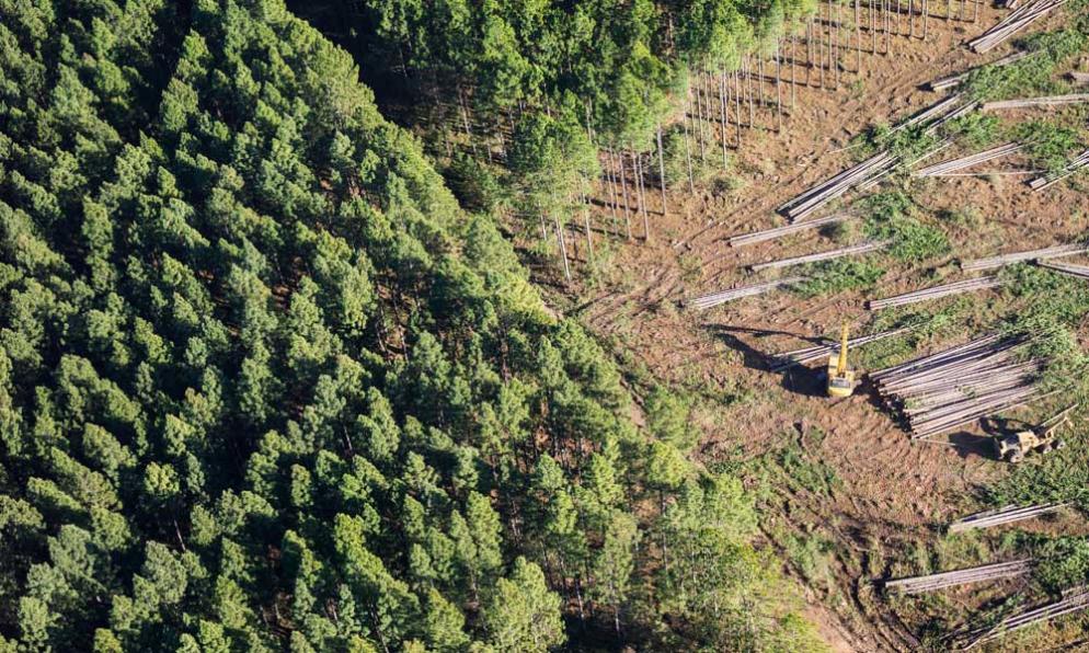
- Forest Change Detection: Satellite data can be used to monitor forest loss and degradation, as well as forest regeneration and recovery. This information is essential for REDD+ (Reducing Emissions from Deforestation and Forest Degradation) initiatives and other forest conservation efforts.
- Forest Health Assessment: Satellite data can be used to detect forest disturbances, such as fires, storms, and insect outbreaks. It can also be used to assess forest health indicators, such as vegetation vigor and canopy cover, providing early warning systems for forest decline.
Challenges And Opportunities
Despite the potential of satellite data forestry, there are several challenges that need to be addressed:
- Data Availability and Accessibility: Inconsistent data quality and availability, as well as limited access to high-resolution satellite data, can hinder the use of satellite data forestry.
- Integration with Field Data: Limited field data for calibration and validation, as well as the challenge of scaling up field measurements to regional or global scales, can limit the accuracy and applicability of satellite data forestry.
- Capacity Building and Training: Lack of skilled personnel in satellite data analysis and limited training opportunities, especially in developing countries, can impede the adoption of satellite data forestry.
However, there are also opportunities to address these challenges:
- Open Data Initiatives and Data Sharing Platforms: Open data initiatives and data sharing platforms can improve data availability and accessibility, facilitating the use of satellite data forestry.
- Advances in Cloud Computing and Data Storage: Advances in cloud computing and data storage technologies can enable the processing and analysis of large volumes of satellite data.
- Integration of Satellite Data with Forest Inventory Data: Integrating satellite data with forest inventory data can improve the accuracy and applicability of satellite data forestry.
- Citizen Science Initiatives for Data Collection: Citizen science initiatives can contribute to data collection and validation, supporting the use of satellite data forestry.
- Capacity Building Programs and Online Courses: Capacity building programs and online courses can provide training opportunities in satellite data analysis, promoting the adoption of satellite data forestry.
Satellite data forestry offers valuable insights for improving forest carbon accounting. By providing comprehensive and timely information about forest extent, structure, and biomass, satellite data can support the development of accurate forest carbon stock estimates, forest change detection systems, and forest health assessment tools. Addressing the challenges related to data availability, integration with field data, and capacity building will further enhance the potential of satellite data forestry in forest carbon accounting and contribute to effective forest management and climate change mitigation strategies.
YesNo

Leave a Reply