How Can Satellite Data Land Cover be Used to Manage Natural Resources?
Natural resource management is a critical aspect of ensuring the sustainability of our planet and meeting the needs of a growing population. Satellite data land cover plays a vital role in this endeavor, providing valuable information and insights for decision-makers and stakeholders.

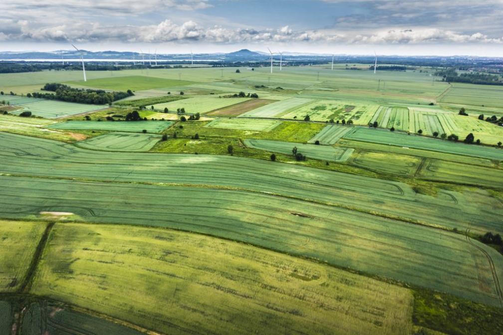
Applications Of Satellite Data Land Cover In Natural Resource Management
- Forest Management: Satellite data land cover enables the monitoring of deforestation and forest degradation, identification of areas suitable for reforestation and afforestation, and estimation of forest biomass and carbon stocks.
- Water Resources Management: Satellite data can be used to monitor water bodies and wetlands, assess water quality and pollution levels, and identify potential areas for water conservation and restoration.
- Agriculture and Land Use Planning: Satellite data supports the monitoring of crop growth and yield estimation, identification of areas suitable for agriculture expansion or conversion, and sustainable land use planning and management.
- Disaster Management: Satellite data land cover aids in monitoring natural disasters such as floods, droughts, and wildfires, assessing the extent and severity of disasters, and supporting disaster preparedness, response, and recovery efforts.
Advantages Of Using Satellite Data Land Cover
- Broad-scale and Synoptic View: Satellite data provides a comprehensive and synoptic view of natural resources, enabling the analysis of large areas and identifying patterns and trends.
- Consistent and Standardized Data Collection: Satellite data is collected using standardized protocols and methodologies, ensuring consistency and comparability over time and across regions.
- Cost-effective and Time-efficient Data Acquisition: Satellite data acquisition is relatively cost-effective and time-efficient compared to traditional ground-based surveys, making it a practical solution for large-scale monitoring and assessment.
- Ability to Monitor Changes Over Time: Satellite data allows for the monitoring of changes in land cover and natural resources over time, providing valuable insights into the dynamics of ecosystems and the impacts of human activities.
Challenges And Limitations
- Accuracy and Resolution Limitations: Satellite data may have limitations in terms of accuracy and resolution, which can affect the reliability and precision of the information derived from it.
- Cloud Cover and Atmospheric Conditions: Cloud cover and atmospheric conditions can affect the availability and quality of satellite data, particularly in regions with frequent cloud cover or adverse weather conditions.
- Data Processing and Analysis Requirements: Satellite data processing and analysis require specialized skills and computational resources, which can be a challenge for organizations with limited technical capacity.
- Need for Ground-based Data for Validation and Calibration: Ground-based data is often necessary for validating and calibrating satellite data, ensuring its accuracy and reliability.
Case Studies And Examples
Numerous case studies and examples demonstrate the successful applications of satellite data land cover in natural resource management. For instance, in the Amazon rainforest, satellite data has been used to monitor deforestation and forest degradation, supporting efforts to protect and conserve this vital ecosystem.
In water resources management, satellite data has been employed to monitor water quality in lakes and rivers, identify sources of pollution, and assess the impacts of climate change on water bodies.
In agriculture, satellite data has been used to estimate crop yields, identify areas suitable for crop cultivation, and support sustainable agricultural practices.
Satellite data land cover is a powerful tool for natural resource management, providing valuable information and insights for decision-makers and stakeholders. Its advantages in terms of broad-scale coverage, consistency, and cost-effectiveness make it an essential tool for monitoring and assessing natural resources, supporting sustainable management practices, and responding to environmental challenges.
As satellite technology and data analysis techniques continue to advance, the potential of satellite data land cover in natural resource management will further expand, enabling even more effective and informed decision-making for the conservation and sustainable use of our planet's resources.
YesNo

Leave a Reply