What Are the Ethical Considerations of Using Satellite Data for Land Cover Mapping?
Satellite data has revolutionized the field of land cover mapping, providing valuable insights into the Earth's surface and its changes over time. However, the use of satellite data also raises a number of ethical considerations that must be carefully addressed to ensure responsible and ethical practices.
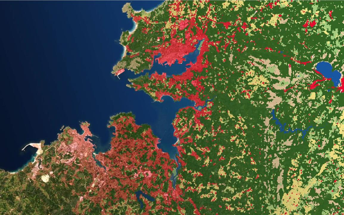
Ethical Considerations
Privacy And Confidentiality
- Satellite data can collect personal information, such as images of individuals or their property.
- It is important to protect individual privacy by anonymizing data or obtaining informed consent before using satellite data for land cover mapping.
Accuracy And Reliability
- Satellite data may contain errors or biases, which can lead to inaccurate or misleading land cover maps.
- It is important to validate data and implement quality control measures to ensure the accuracy and reliability of land cover maps derived from satellite data.
Ownership And Access
- Satellite data may be owned by private companies or government agencies, which can restrict access to the data.
- It is important to ensure equitable access to satellite data for land cover mapping, particularly for researchers and policymakers in developing countries.
Environmental Impact
- Satellite data collection can have environmental consequences, such as the generation of electronic waste and the use of energy-intensive computing resources.
- It is important to minimize the environmental footprint of satellite data collection and to adopt sustainable data management practices.
Balancing Ethical Considerations And Benefits
The use of satellite data for land cover mapping offers numerous benefits, including improved land use planning, disaster management, and environmental monitoring. However, it is essential to carefully weigh the benefits and risks associated with satellite data use and to develop ethical guidelines that ensure responsible and ethical practices.
Developing Ethical Guidelines
To address the ethical considerations associated with satellite data use for land cover mapping, it is important to develop ethical guidelines that provide clear guidance to researchers, policymakers, and practitioners. These guidelines should address issues such as privacy, accuracy, ownership, and environmental impact.
Ongoing Dialogue And Collaboration
Addressing the ethical considerations of satellite data use for land cover mapping requires ongoing dialogue and collaboration among stakeholders, including researchers, policymakers, industry representatives, and civil society organizations. This dialogue should focus on developing ethical guidelines, promoting responsible data sharing practices, and raising awareness of the ethical implications of satellite data use.

The use of satellite data for land cover mapping has the potential to provide valuable insights into the Earth's surface and its changes over time. However, it is essential to carefully consider the ethical implications of satellite data use and to develop ethical guidelines that ensure responsible and ethical practices. By addressing these ethical considerations, we can harness the power of satellite data to improve land use planning, disaster management, environmental monitoring, and other critical applications while respecting individual privacy, ensuring data accuracy, promoting equitable access, and minimizing environmental impact.
YesNo

Leave a Reply