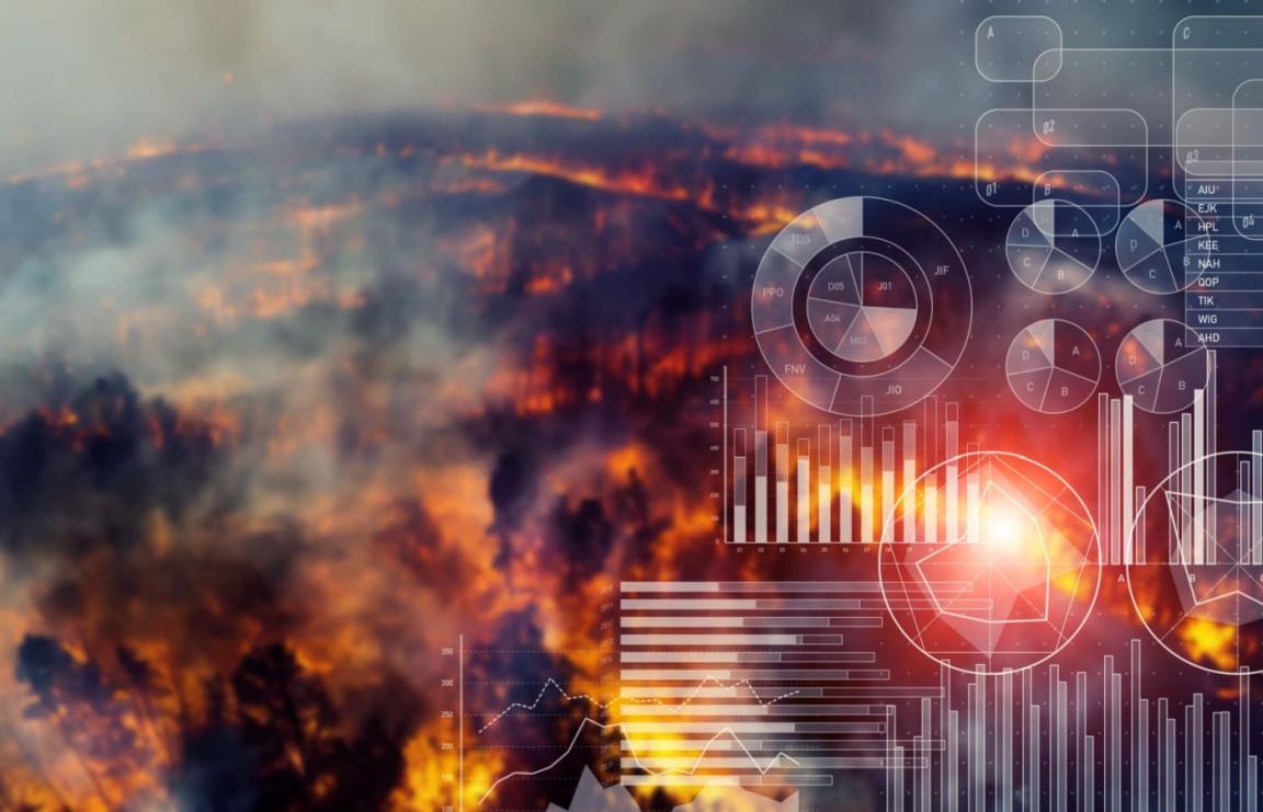
How Can Satellite Data Aid Disaster Management?
Disasters, both natural and human-induced, pose significant challenges to communities worldwide. Disaster management plays a crucial role in mitigating the impact of these events, and satellite data has emerged as a valuable tool in this endeavor. This article explores the various ways in which satellite data can aid disaster management efforts.
1. Real-Time Monitoring And Early Warning Systems:
Satellite data enables real-time monitoring of various environmental parameters that are critical for disaster prediction and early warning. These parameters include:
- Weather patterns: Satellite data provides real-time information on weather conditions, including cloud cover, precipitation, wind speed, and direction, helping meteorologists forecast and track storms, hurricanes, and other severe weather events.
- Sea levels: Satellite data is used to monitor sea levels, enabling the detection of changes that may indicate potential tsunamis or storm surges.
- Land movements: Satellite data can detect subtle changes in land movement, such as ground deformation or subsidence, which can help identify areas at risk of landslides or earthquakes.
Early warning systems utilize satellite data to provide timely alerts for impending disasters, allowing communities to take proactive measures to protect lives and property.
2. Damage Assessment And Impact Analysis:
Satellite imagery plays a crucial role in assessing the extent of damage caused by disasters. This information is vital for:
- Infrastructure damage: Satellite imagery can identify damaged buildings, bridges, roads, and other infrastructure, helping authorities prioritize repair and recovery efforts.
- Crop loss: Satellite data can assess crop damage caused by floods, droughts, or other agricultural disasters, enabling governments and aid organizations to provide targeted assistance to affected farmers.
- Environmental degradation: Satellite imagery can detect changes in land cover, deforestation, and water quality, helping authorities identify areas in need of environmental restoration and conservation.
Satellite data also helps identify vulnerable areas and populations, allowing for targeted relief efforts and the development of long-term disaster risk reduction strategies.
3. Communication And Connectivity:
In disaster-affected areas, traditional communication infrastructure may be disrupted, making it challenging to coordinate relief efforts and maintain communication with affected communities. Satellite communication systems provide a reliable alternative, offering:
- Reliable connectivity: Satellite communication systems can provide reliable connectivity even in remote or inaccessible areas, enabling communication between relief workers, government agencies, and affected communities.
- Coordination of relief efforts: Satellite communication facilitates the coordination of relief efforts, allowing aid organizations and government agencies to share information, track resources, and coordinate their response.
- Maintaining communication with affected communities: Satellite communication allows affected communities to stay connected with each other and with the outside world, enabling them to receive critical information and updates.
4. Environmental Monitoring And Disaster Prevention:
Satellite data contributes to environmental monitoring, which plays a vital role in disaster prevention. This includes:
- Tracking deforestation: Satellite data can track deforestation and forest degradation, helping identify areas at risk of landslides, floods, and other disasters.
- Glacier movement: Satellite data can monitor glacier movement and melting, providing valuable information for assessing risks associated with glacial lakes and potential flooding.
- Water resources: Satellite data can monitor water resources, including surface water bodies and groundwater levels, helping authorities manage water resources and identify areas at risk of drought or flooding.
This information helps identify potential disaster risks and develop preventive measures, such as reforestation, watershed management, and flood control infrastructure.
5. Data Integration And Decision-Making:
Effective disaster management requires the integration of satellite data with other data sources, such as:
- Ground-based observations: Satellite data can be combined with ground-based observations from weather stations, seismometers, and other sensors to provide a more comprehensive picture of a disaster situation.
- Social media data: Social media data can provide real-time information on the impact of disasters, including reports of damage, requests for assistance, and updates from affected communities.
Data analytics and modeling can be used to extract valuable insights from integrated satellite data, supporting decision-making in disaster management. This includes:
- Predicting disaster impacts: Data analytics can help predict the potential impacts of disasters, such as the extent of flooding or the severity of a storm, enabling authorities to prepare and allocate resources accordingly.
- Optimizing relief efforts: Data analytics can help optimize relief efforts by identifying areas with the greatest need, tracking the movement of aid supplies, and coordinating the deployment of personnel.
6. Capacity Building And Training:
Effective utilization of satellite data in disaster management requires capacity building and training programs to equip disaster management agencies and personnel with the skills and knowledge to:
- Access and interpret satellite data: Training programs can provide disaster management personnel with the skills to access, process, and interpret satellite data, enabling them to extract valuable information for decision-making.
- Develop and implement satellite-based applications: Training programs can also focus on developing and implementing satellite-based applications tailored to specific disaster management needs, such as early warning systems or damage assessment tools.
International cooperation and knowledge sharing are essential for enhancing the global response to disasters and improving the effectiveness of satellite data utilization.
Satellite data plays a vital role in disaster management, providing valuable information for real-time monitoring, early warning, damage assessment, communication, environmental monitoring, and decision-making. As satellite technology continues to advance, its potential to further improve disaster preparedness, response, and recovery efforts is immense. By investing in capacity building, data integration, and international cooperation, we can harness the power of satellite data to create a more resilient world.
YesNo

Leave a Reply