What Are the Benefits of Using Satellite Data in Disaster Management?
Satellite data has become an indispensable tool in disaster management, providing valuable information for early warning, damage assessment, communication, risk reduction, and recovery efforts. This article explores the key benefits of using satellite data in disaster management, highlighting its role in enhancing preparedness and response.

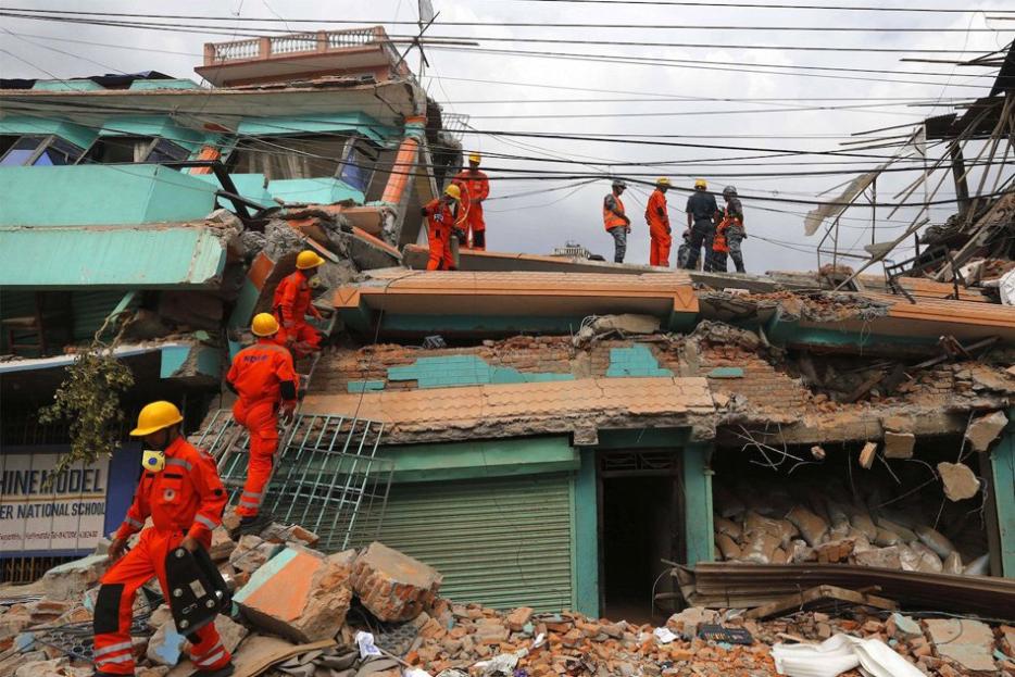
Benefits Of Using Satellite Data In Disaster Management
Satellite data offers a range of benefits that contribute to effective disaster management:
- Early Warning and Monitoring: Satellite data enables real-time monitoring of environmental conditions, allowing for early detection of potential disasters. Satellite imagery can track storm development and movement, while satellite-based sensors can monitor sea level rise and coastal erosion.
- Damage Assessment and Impact Analysis: Satellite data provides valuable information for assessing the extent and severity of damage caused by disasters. Satellite imagery can identify affected areas and estimate infrastructure damage, while satellite-derived data can analyze the impact on agriculture and ecosystems.
- Communication and Coordination: Satellite technology facilitates communication and coordination among disaster response teams and affected communities. Satellite-based communication systems can connect remote areas, while satellite imagery can be shared to provide situational awareness and coordinate relief efforts.
- Risk Reduction and Mitigation: Satellite data contributes to disaster risk reduction by identifying vulnerable areas and supporting mitigation measures. Satellite imagery can be used for land use planning and identifying high-risk zones, while satellite-derived data can be used to model and simulate disaster scenarios.
- Recovery and Reconstruction: Satellite data aids in post-disaster recovery and reconstruction efforts. Satellite imagery can be used to map damaged infrastructure and plan reconstruction, while satellite-derived data can be used to assess the effectiveness of recovery programs.
Challenges And Limitations Of Using Satellite Data
Despite its benefits, the use of satellite data in disaster management also faces challenges:
- Data Accessibility and Availability: Accessing and acquiring satellite data can be challenging, especially in remote or data-poor regions. Improved data sharing and collaboration among space agencies and international organizations are needed to address this issue.
- Data Interpretation and Analysis: Interpreting and analyzing satellite data requires specialized expertise and resources. Capacity building and training programs for disaster management professionals are essential to enhance data utilization.
- Data Integration and Interoperability: Integrating satellite data with other sources of information, such as ground-based observations and social media data, can be challenging. Standardized data formats and protocols are needed to facilitate data integration and interoperability.
Satellite data has revolutionized disaster management, providing valuable information for early warning, damage assessment, communication, risk reduction, and recovery efforts. However, challenges remain in data accessibility, analysis, and integration. Continued efforts are needed to enhance satellite technologies, build capacity, and promote data sharing to fully harness the potential of satellite data in disaster management.
By investing in satellite technologies and capacity building, we can improve our ability to prepare for, respond to, and recover from disasters, ultimately saving lives and reducing the impact of these devastating events.
YesNo

Leave a Reply