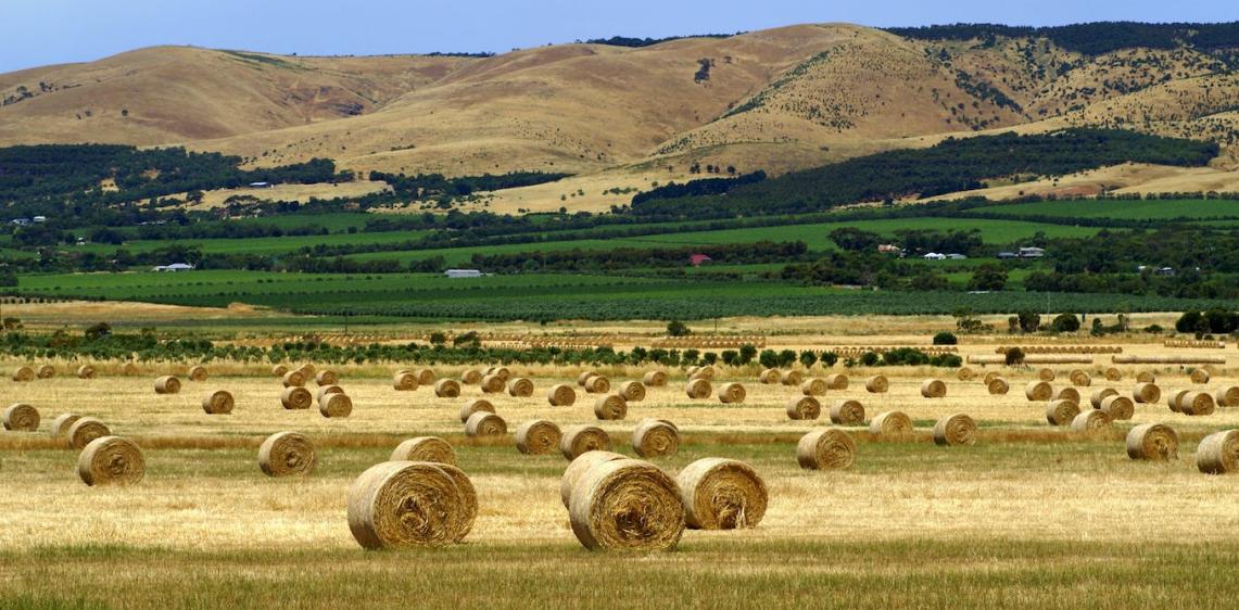
What Are the Benefits of Using Satellite Data for Agriculture?
In the realm of modern agriculture, satellite data has emerged as a transformative tool, revolutionizing the way farmers manage their crops, optimize land use, and adapt to changing environmental conditions. Satellite technology provides a wealth of information that enables farmers to make informed decisions, improve efficiency, and enhance sustainability.
Improved Crop Monitoring And Management
Real-time Monitoring Of Crop Health And Growth Stages
Satellite data allows farmers to monitor crop health and growth stages in real-time. By analyzing satellite imagery, farmers can identify areas of stress, such as nutrient deficiencies, water shortages, or pest infestations, enabling timely interventions to mitigate potential losses.
Early Detection Of Crop Stress, Pests, And Diseases
Satellite data can detect subtle changes in crop health, allowing for early detection of crop stress, pests, and diseases. This enables farmers to take prompt action, such as applying targeted treatments or implementing pest management strategies, to minimize the impact on crop yields.
Precision Agriculture Techniques For Targeted Application Of Inputs
Satellite data facilitates the implementation of precision agriculture techniques, which involve the targeted application of inputs such as fertilizers, pesticides, and irrigation water. By analyzing satellite imagery, farmers can identify areas within a field that require specific inputs, optimizing resource allocation and reducing environmental impact.
Yield Estimation And Forecasting
Satellite data can be used to estimate crop yields and forecast production levels. By analyzing historical satellite data and combining it with weather and soil information, farmers can make informed decisions about crop selection, planting dates, and irrigation schedules, maximizing yields and minimizing risks.
Enhanced Land Use Planning And Management
Identification Of Suitable Areas For Cultivation
Satellite data can help identify areas suitable for cultivation, taking into account factors such as soil type, climate conditions, and water availability. This information supports informed land use planning, enabling farmers to select the most appropriate crops for their specific conditions and optimize agricultural productivity.
Crop Rotation Planning And Optimization
Satellite data can assist farmers in planning and optimizing crop rotation strategies. By analyzing historical satellite imagery, farmers can identify areas that have been under continuous cultivation and may benefit from crop rotation to maintain soil health and reduce the risk of pests and diseases.
Monitoring Of Land Use Changes And Deforestation
Satellite data can be used to monitor land use changes and deforestation. This information is crucial for sustainable land management and conservation efforts. By tracking changes in land cover, policymakers and stakeholders can identify areas at risk of deforestation and implement measures to protect these valuable ecosystems.
Conservation And Sustainable Land Management Practices
Satellite data can support conservation and sustainable land management practices. By analyzing satellite imagery, farmers and land managers can identify areas that require conservation measures, such as reforestation, erosion control, or wetland restoration. This information enables the implementation of targeted interventions to protect and restore natural resources.
Precision Irrigation And Water Management
Accurate Assessment Of Crop Water Requirements
Satellite data can provide accurate assessments of crop water requirements. By analyzing satellite imagery, farmers can determine the amount of water needed for optimal crop growth, taking into account factors such as weather conditions, soil type, and crop stage. This information enables efficient irrigation scheduling, minimizing water usage and reducing the risk of waterlogging.
Optimization Of Irrigation Schedules To Minimize Water Usage
Satellite data can be used to optimize irrigation schedules, minimizing water usage while ensuring adequate crop water supply. By analyzing satellite imagery, farmers can identify areas within a field that require more or less irrigation, enabling targeted and efficient water application.
Detection Of Water Stress And Drought Conditions
Satellite data can detect water stress and drought conditions in crops. By analyzing satellite imagery, farmers can identify areas that are experiencing water shortages and take appropriate actions, such as adjusting irrigation schedules or implementing drought-resistant crop management practices.
Improved Water Use Efficiency And Conservation
Satellite data can contribute to improved water use efficiency and conservation in agriculture. By providing accurate information on crop water requirements and enabling the optimization of irrigation schedules, satellite data helps farmers reduce water usage, minimize water losses, and conserve this precious resource.
Pest And Disease Management
Monitoring Of Pest And Disease Outbreaks
Satellite data can be used to monitor pest and disease outbreaks in crops. By analyzing satellite imagery, farmers can identify areas where pests or diseases are spreading, enabling timely intervention to prevent or mitigate their impact on crop yields.
Early Warning Systems For Timely Intervention
Satellite data can be integrated into early warning systems for pest and disease outbreaks. By analyzing satellite imagery and combining it with weather and crop growth information, farmers can receive alerts when conditions are favorable for pest or disease development, allowing them to take preventive measures.
Targeted Application Of Pesticides And Fungicides
Satellite data can facilitate the targeted application of pesticides and fungicides. By analyzing satellite imagery, farmers can identify areas within a field that require pest or disease control, enabling the precise application of chemicals, reducing environmental impact, and minimizing the risk of resistance development.
Reduction In The Use Of Chemicals And Environmental Impact
Satellite data can contribute to the reduction of chemical use in agriculture. By enabling the targeted application of pesticides and fungicides, satellite data helps farmers minimize the amount of chemicals used, reducing the environmental impact of agricultural practices and promoting sustainable agriculture.
Climate Resilience And Adaptation
Monitoring Of Weather Conditions And Climate Variability
Satellite data can be used to monitor weather conditions and climate variability. By analyzing satellite imagery, farmers can track weather patterns, such as temperature, precipitation, and soil moisture, and identify areas that are at risk of extreme weather events, such as droughts, floods, or heatwaves.
Assessment Of Climate Change Impacts On Agriculture
Satellite data can be used to assess the impacts of climate change on agriculture. By analyzing historical and current satellite imagery, researchers and policymakers can identify areas that are experiencing changes in climate patterns, such as rising temperatures, altered precipitation patterns, or increased frequency of extreme weather events, and develop adaptation strategies accordingly.
Development Of Adaptation Strategies To Mitigate Climate Risks
Satellite data can support the development of adaptation strategies to mitigate climate risks in agriculture. By providing information on climate change impacts, satellite data enables farmers and policymakers to identify vulnerable areas and implement measures to adapt to changing conditions, such as crop diversification, improved irrigation systems, or the adoption of drought-resistant crop varieties.
Sustainable Agricultural Practices For A Changing Climate
Satellite data can contribute to the development of sustainable agricultural practices that are resilient to climate change. By providing information on climate change impacts and enabling the monitoring of agricultural practices, satellite data helps farmers and policymakers identify and implement sustainable practices that minimize environmental impact, conserve natural resources, and ensure food security in a changing climate.
Satellite data has revolutionized the way farmers manage their crops, optimize land use, and adapt to changing environmental conditions. From improved crop monitoring and management to precision irrigation and water management, satellite data provides valuable information that enables farmers to make informed decisions, improve efficiency, and enhance sustainability. As satellite technology continues to advance, the benefits of satellite data for agriculture will only increase, supporting the development of a more sustainable and resilient agricultural sector.
YesNo

Leave a Reply