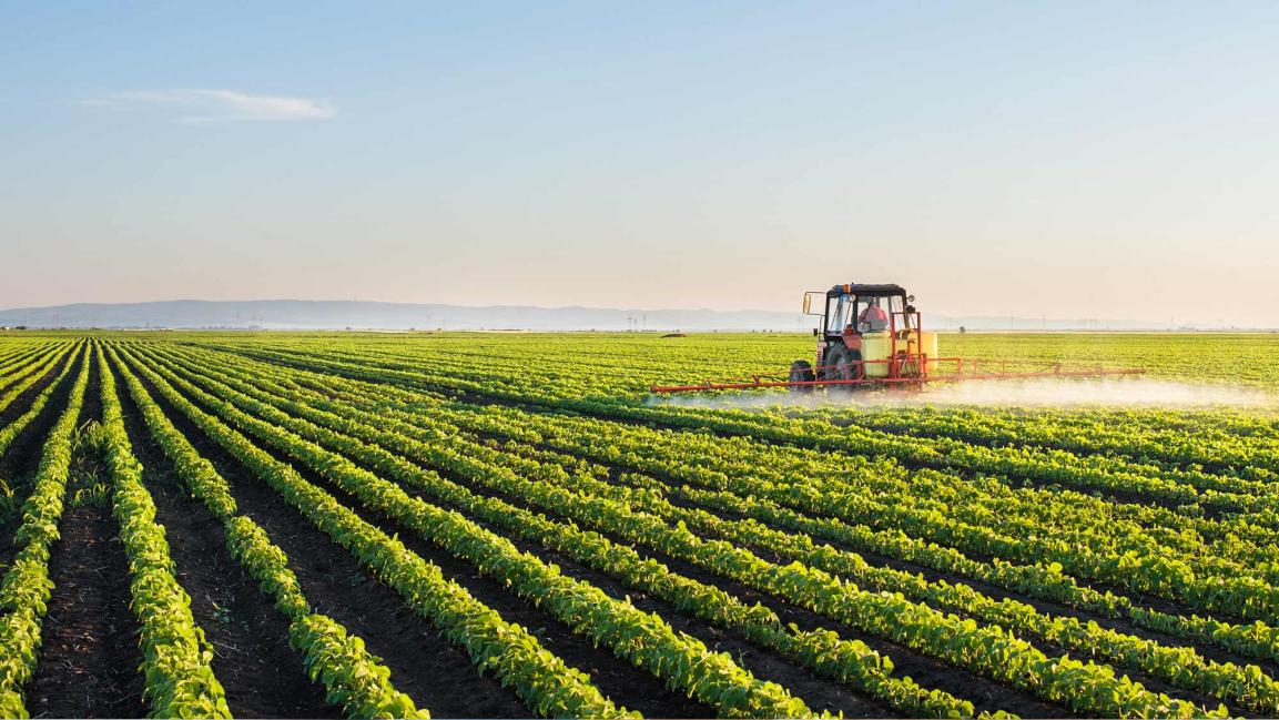
Exploring the Role of Satellite Data in Precision Agriculture: A Comprehensive Analysis
Precision agriculture is a farming management concept that utilizes information technology to ensure that crops and soil receive exactly what they need for optimal health and productivity. Satellite data, with its ability to provide detailed and timely information about crop health, soil conditions, and other relevant factors, plays a crucial role in enabling precision agriculture practices.

Types Of Satellite Data Used In Precision Agriculture
- Optical imagery: Optical satellites, such as Landsat and Sentinel-2, capture images in visible and near-infrared wavelengths. These images provide information about crop health, vegetation cover, and land use.
- Radar imagery: Radar satellites, such as Sentinel-1, use radar pulses to create images of the Earth's surface. Radar imagery is particularly useful for monitoring soil moisture and crop biomass.
- LiDAR data: LiDAR (Light Detection and Ranging) satellites, such as ICESat-2 and GEDI, measure the elevation of the Earth's surface. LiDAR data is used to create digital elevation models and to estimate crop height.
Applications Of Satellite Data In Precision Agriculture
- Crop Health Monitoring: Satellite data can be used to identify crop stress, diseases, and nutrient deficiencies. This information helps farmers to take timely action to protect their crops.
- Yield Estimation: Satellite-derived vegetation indices can be used to predict crop yields. This information is valuable for farmers in planning their harvesting and marketing strategies.
- Land Cover Classification: Satellite data can be used to identify and map different crop types. This information is useful for land management and policy decisions.
- Soil Moisture Monitoring: Satellite data can be used to monitor soil moisture content. This information helps farmers to optimize irrigation scheduling and mitigate drought and waterlogging stress.
- Crop Mapping: Satellite data can be used to delineate field boundaries and crop areas. This information is used to estimate crop acreage and production statistics.
Challenges And Limitations Of Using Satellite Data In Precision Agriculture
- Cloud cover and atmospheric interference: Clouds and atmospheric conditions can interfere with satellite data collection.
- Data availability and accessibility: Satellite data may not be available for all regions or may be difficult to access.
- Data processing and analysis requirements: Satellite data requires specialized processing and analysis techniques.
- Integration with other data sources: Satellite data needs to be integrated with other data sources, such as weather data and soil data, to provide a comprehensive view of crop conditions.
- Scalability and cost-effectiveness: Satellite data can be expensive and may not be scalable for large-scale farming operations.
Future Prospects And Emerging Trends
- Advancements in satellite technology: Advancements in satellite technology are leading to satellites with higher resolution and more frequent data collection capabilities.
- Integration with other technologies: Satellite data is being integrated with other technologies, such as drones and IoT sensors, to provide a more comprehensive view of crop conditions.
- Development of decision support systems: Decision support systems are being developed to help farmers interpret satellite data and make informed decisions.
- Increased adoption of satellite data: The adoption of satellite data in precision agriculture is increasing as farmers become more aware of its benefits.
Satellite data has the potential to revolutionize precision agriculture by providing farmers with timely and accurate information about their crops and soil conditions. However, challenges related to data availability, processing, and integration need to be addressed to unlock the full potential of satellite data in precision agriculture. Further research and collaboration are needed to develop innovative solutions to these challenges and to promote the adoption of satellite data among farmers.
YesNo

Leave a Reply