What Are the Challenges and Limitations of Satellite Data Earth Observation?
Satellite data Earth observation has revolutionized our understanding of the planet and its processes. From monitoring environmental changes to managing natural resources, satellite data has become an indispensable tool for scientists, policymakers, and businesses alike. However, this powerful technology is not without its challenges and limitations.
Challenges Of Satellite Data Earth Observation
A. Atmospheric Interference
The Earth's atmosphere is not transparent to electromagnetic radiation, which can interfere with satellite data collection. Gases, aerosols, and clouds can absorb and scatter radiation, leading to data quality issues and reduced accuracy.
- Absorption and scattering of radiation can distort the spectral signature of Earth's surface, making it difficult to interpret data.
- Clouds can obscure the Earth's surface, making it impossible to obtain clear images. This can lead to data gaps and inconsistencies.
B. Geometric Distortions
The Earth's curvature and topography can cause geometric distortions in satellite imagery. This is because the Earth's surface is not flat, and the angle at which the satellite sensor views the Earth can vary.
- Geometric distortions can make it difficult to accurately measure distances and angles on satellite images.
- Geometric correction techniques are used to minimize these distortions, but they can be complex and time-consuming.
C. Radiometric Distortions
Radiometric distortions are variations in the brightness values of satellite images. These distortions can be caused by variations in sensor response, calibration issues, and atmospheric effects.
- Radiometric distortions can make it difficult to compare satellite images taken at different times or by different sensors.
- Radiometric correction techniques are used to minimize these distortions, but they can be complex and time-consuming.
D. Temporal Resolution Limitations

Satellites have limited revisit times, which means that they cannot collect data over the same area very frequently. This can make it difficult to capture dynamic processes, such as weather events or changes in vegetation.
- The temporal resolution of satellite data can vary from a few hours to several days or even weeks.
- Limited temporal resolution can make it difficult to monitor rapidly changing phenomena.
E. Spatial Resolution Limitations
Satellite sensors have a limited spatial resolution, which means that they cannot capture fine-scale details. This can make it difficult to identify small objects or features on the Earth's surface.
- The spatial resolution of satellite data can vary from a few meters to several kilometers.
- Limited spatial resolution can make it difficult to study small-scale processes or features.
F. Data Volume And Processing

Satellite sensors generate a large volume of data, which can be challenging to store, process, and analyze. This can be a significant challenge for organizations with limited resources.
- The volume of satellite data is increasing rapidly, as new sensors with higher spatial and temporal resolutions are launched.
- Processing and analyzing satellite data can be computationally intensive and time-consuming.
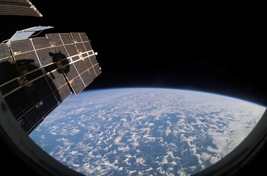
G. Cloud Cover
Cloud cover can obscure the Earth's surface, making it difficult to obtain clear images from satellites. This can be a particular challenge in regions with frequent cloud cover, such as tropical rainforests.
- Cloud cover can lead to data gaps and inconsistencies.
- Techniques such as cloud masking and compositing can be used to minimize the impact of cloud cover, but they can be complex and time-consuming.
H. Data Accessibility And Cost
Access to satellite data can be limited by data policies and costs. Some satellite data is freely available, while other data may be subject to restrictions or fees. This can hinder the widespread use of satellite data.
- Data policies and costs can vary widely among different satellite data providers.
- Limited accessibility to satellite data can make it difficult for researchers and decision-makers to obtain the data they need.
Limitations Of Satellite Data Earth Observation
A. Lack Of In-Situ Validation
Satellite data often lacks ground-based validation, which means that it can be difficult to verify the accuracy and reliability of the data. This is especially true for data collected over remote or inaccessible areas.
- In-situ validation is essential for ensuring the quality and accuracy of satellite data.
- The lack of in-situ validation can make it difficult to trust satellite data for decision-making.
B. Uncertainties And Errors
Satellite data is subject to uncertainties and errors, which can be introduced by atmospheric effects, calibration issues, and sensor limitations. These uncertainties can make it difficult to interpret data and draw conclusions.
- Uncertainties and errors in satellite data can lead to misinterpretations and incorrect conclusions.
- It is important to understand the uncertainties and errors associated with satellite data before using it for decision-making.
C. Limited Spectral Coverage
Satellite sensors have limited spectral coverage, which means that they can only detect a limited range of wavelengths. This can make it difficult to capture the full spectral signature of Earth's surface, which can be important for certain applications.
- Limited spectral coverage can make it difficult to identify and classify different materials on the Earth's surface.
- New satellite sensors are being developed with expanded spectral coverage, but these sensors are still limited in their capabilities.
D. Data Latency
There is often a time lag between the acquisition of satellite data and its availability to users. This time lag can be significant, especially for data collected over remote or inaccessible areas.
- Data latency can make it difficult to use satellite data for near-real-time applications.
- Efforts are being made to reduce data latency, but it remains a challenge for some applications.
Satellite data Earth observation is a powerful tool that has revolutionized our understanding of the planet. However, this technology is not without its challenges and limitations. These challenges and limitations need to be carefully considered when using satellite data for decision-making. Continued research and development are needed to address these challenges and limitations and to improve the quality and accuracy of satellite data.
International cooperation and data sharing are also essential for overcoming the limitations of satellite data Earth observation. By working together, countries can pool their resources and expertise to develop new technologies and methods for collecting, processing, and analyzing satellite data. This will help to ensure that satellite data is accessible to all and that it is used to its full potential for the benefit of humanity.
YesNo

Leave a Reply