How Can Satellite Data Be Used to Improve Forest Management Practices?
Forests are vital ecosystems that provide a wide range of benefits to humans and the environment. They regulate the climate, provide habitat for wildlife, and protect watersheds. However, forests are facing a number of threats, including deforestation, climate change, and invasive species. Forest management is essential to protect forests and ensure that they continue to provide these benefits.
Satellite data can be a valuable tool for forest management. Satellite data can provide information on forest health, forest inventory and mapping, fire management, and conservation and biodiversity monitoring.
Benefits Of Satellite Data In Forest Management
Monitoring Forest Health
- Satellite data can detect changes in forest health, such as tree mortality, defoliation, and disease outbreaks.
- This information can help forest managers identify areas that need attention and take appropriate action.
- Satellite data can also be used to track the spread of invasive species, which can have a devastating impact on forest ecosystems.
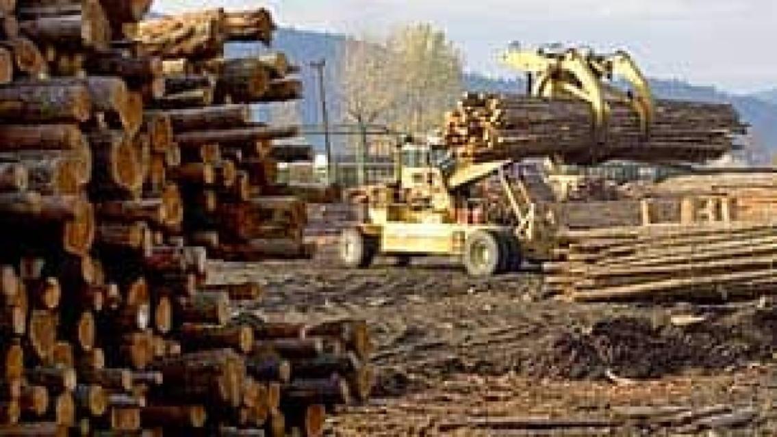
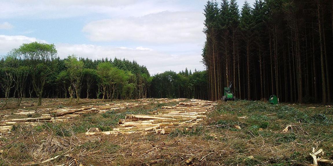
Forest Inventory And Mapping
- Satellite data can be used to create detailed maps of forest stands, including information on tree species, size, and density.
- This information is essential for forest managers to develop sustainable harvesting plans and manage forest resources effectively.
- Satellite data can also be used to identify areas suitable for reforestation or afforestation.
Fire Management
- Satellite data can be used to monitor fire risk and detect active fires in real time.
- This information can help forest managers to allocate resources effectively and respond to fires quickly.
- Satellite data can also be used to assess the severity of fires and help in post-fire recovery efforts.
Conservation And Biodiversity Monitoring
- Satellite data can be used to monitor the distribution and abundance of wildlife species.
- This information can help forest managers to identify critical habitats and develop conservation strategies.
- Satellite data can also be used to monitor the impact of human activities on forest ecosystems.
Challenges And Limitations Of Satellite Data In Forest Management
Data Quality And Availability
- The quality and availability of satellite data can vary depending on factors such as cloud cover, atmospheric conditions, and the resolution of the satellite sensors.
- Forest managers need to be aware of these limitations and carefully select the appropriate satellite data for their specific needs.
Data Processing And Interpretation
- Satellite data can be complex and difficult to interpret.
- Forest managers need to have the necessary skills and resources to process and interpret satellite data effectively.
Cost And Accessibility
- Satellite data can be expensive, and access to satellite data can be limited for some forest managers.
- Governments and organizations need to work together to make satellite data more affordable and accessible to forest managers.
Satellite data can be a valuable tool for forest management. Satellite data can provide information on forest health, forest inventory and mapping, fire management, and conservation and biodiversity monitoring. However, there are also some challenges and limitations associated with the use of satellite data in forest management. These challenges include data quality and availability, data processing and interpretation, and cost and accessibility. Despite these challenges, satellite data has the potential to significantly improve forest management practices and help to protect forests for future generations.
To fully utilize the potential of satellite data in forest management, there is a need for increased investment in satellite data and capacity building for forest managers. Governments and organizations need to work together to make satellite data more affordable and accessible to forest managers. They also need to invest in training and education programs to help forest managers develop the skills and knowledge needed to process and interpret satellite data effectively.
By investing in satellite data and capacity building, we can help forest managers to make better decisions and improve forest management practices. This will help to protect forests and ensure that they continue to provide a wide range of benefits to humans and the environment.
YesNo

Leave a Reply