How Can Satellite Data Be Used to Manage Water Resources in Rural Areas?
Water is a vital resource for all life on Earth. In rural areas, where access to clean water can be limited, satellite data can play a crucial role in managing water resources and ensuring that communities have access to safe and reliable water supplies.
The Importance Of Water Resources In Rural Areas
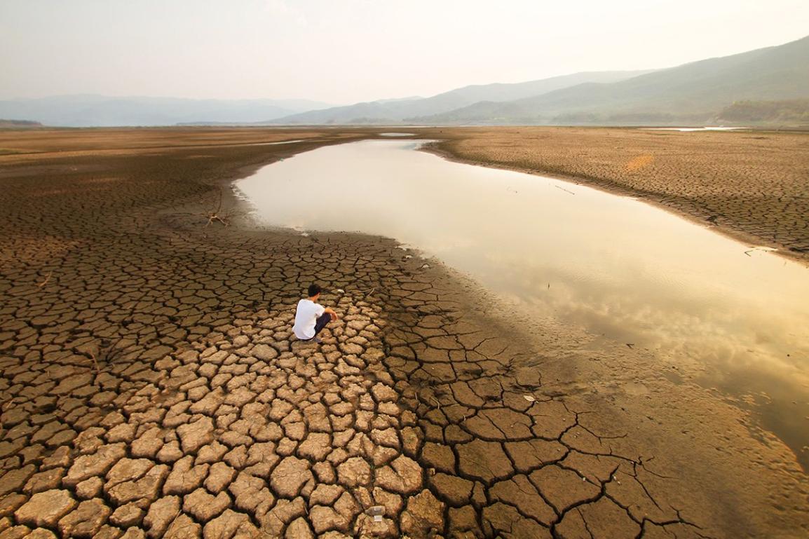
Water scarcity is a major challenge in many rural areas around the world. This is due to a number of factors, including climate change, population growth, and pollution. As a result, rural communities often face water shortages, which can have a devastating impact on their health, livelihoods, and food security.
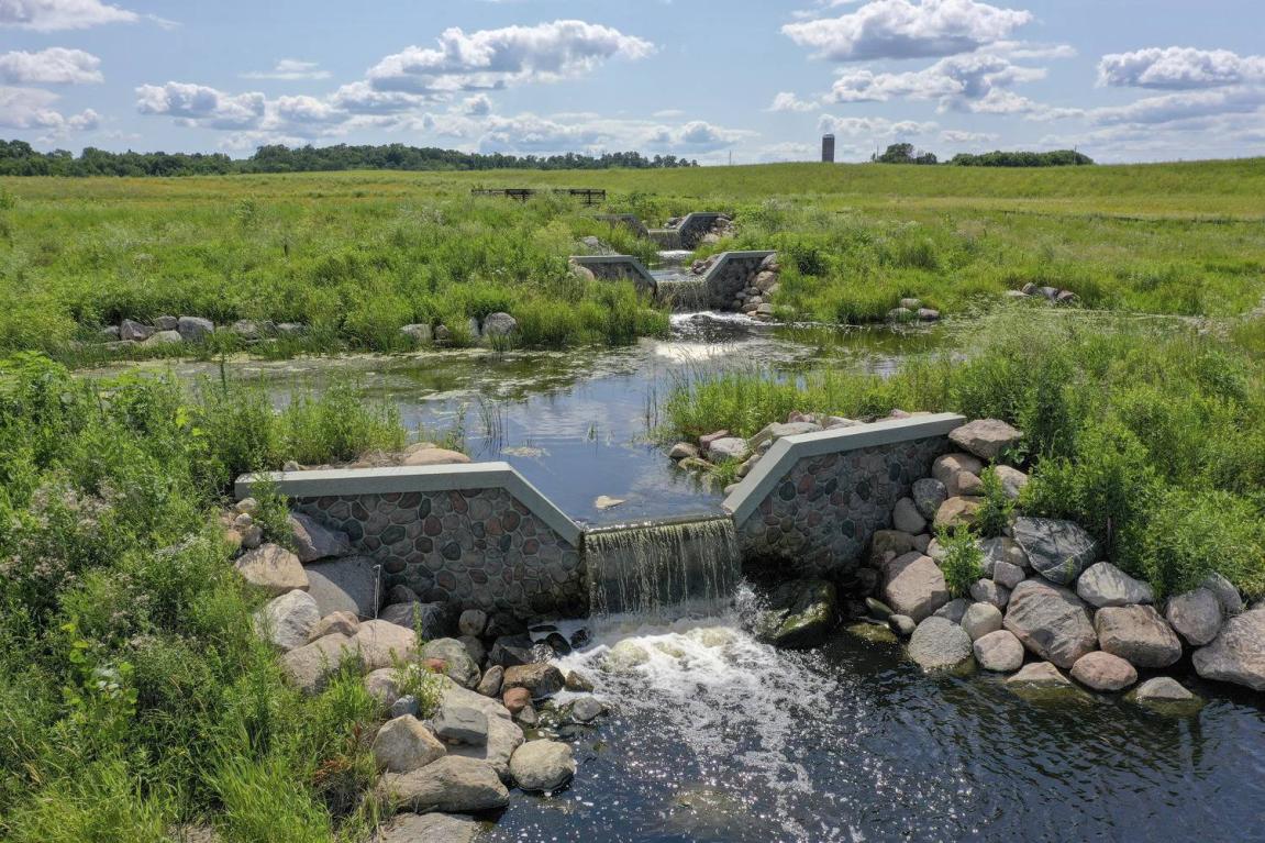
Water resources are essential for drinking, irrigation, and sanitation. They are also used for a variety of other purposes, such as fishing, transportation, and recreation. When water resources are scarce, it can have a ripple effect on the entire community.
The Role Of Satellite Data In Water Resources Management
Satellite data can provide valuable information about water resources. This data can be used to monitor water quality, quantity, and distribution. This information can then be used to make informed decisions about how to manage water resources in a sustainable way.
Satellite data can be used to:
- Monitor water quality parameters such as turbidity, chlorophyll-a, and dissolved oxygen.
- Measure water levels in rivers, lakes, and reservoirs.
- Map the distribution of water resources.
- Identify areas that are most vulnerable to water scarcity.
- Track water availability and predict droughts and floods.
Benefits Of Using Satellite Data For Water Resources Management
There are a number of benefits to using satellite data for water resources management. These benefits include:
- Cost-effectiveness: Satellite data is a cost-effective way to monitor water resources. Satellite data can be collected over large areas at a relatively low cost.
- Timeliness: Satellite data can be collected and processed quickly. This information can be used to make timely decisions about water resources management.
- Accuracy: Satellite data is accurate and reliable. Satellite data can be used to make informed decisions about water resources management.
Challenges In Using Satellite Data For Water Resources Management

There are also some challenges associated with using satellite data for water resources management. These challenges include:
- Data Availability: Satellite data may not be available for all areas. Satellite data may not be available in a timely manner.
- Data Quality: Satellite data may be affected by clouds and other atmospheric conditions. Satellite data may not be accurate enough for some applications.
- Data Interpretation: Satellite data can be difficult to interpret. Specialized knowledge is required to interpret satellite data.
Satellite data can be a valuable tool for managing water resources in rural areas. Satellite data can provide information about water quality, quantity, and distribution. This information can then be used to make informed decisions about how to manage water resources in a sustainable way.
There are a number of challenges associated with using satellite data for water resources management. However, these challenges can be overcome with careful planning and implementation. As satellite technology continues to evolve, satellite data will play an increasingly important role in water resources management in rural areas.
YesNo

Leave a Reply