What Are the Different Types of Satellite Data That Can Be Used to Monitor Water Resources?
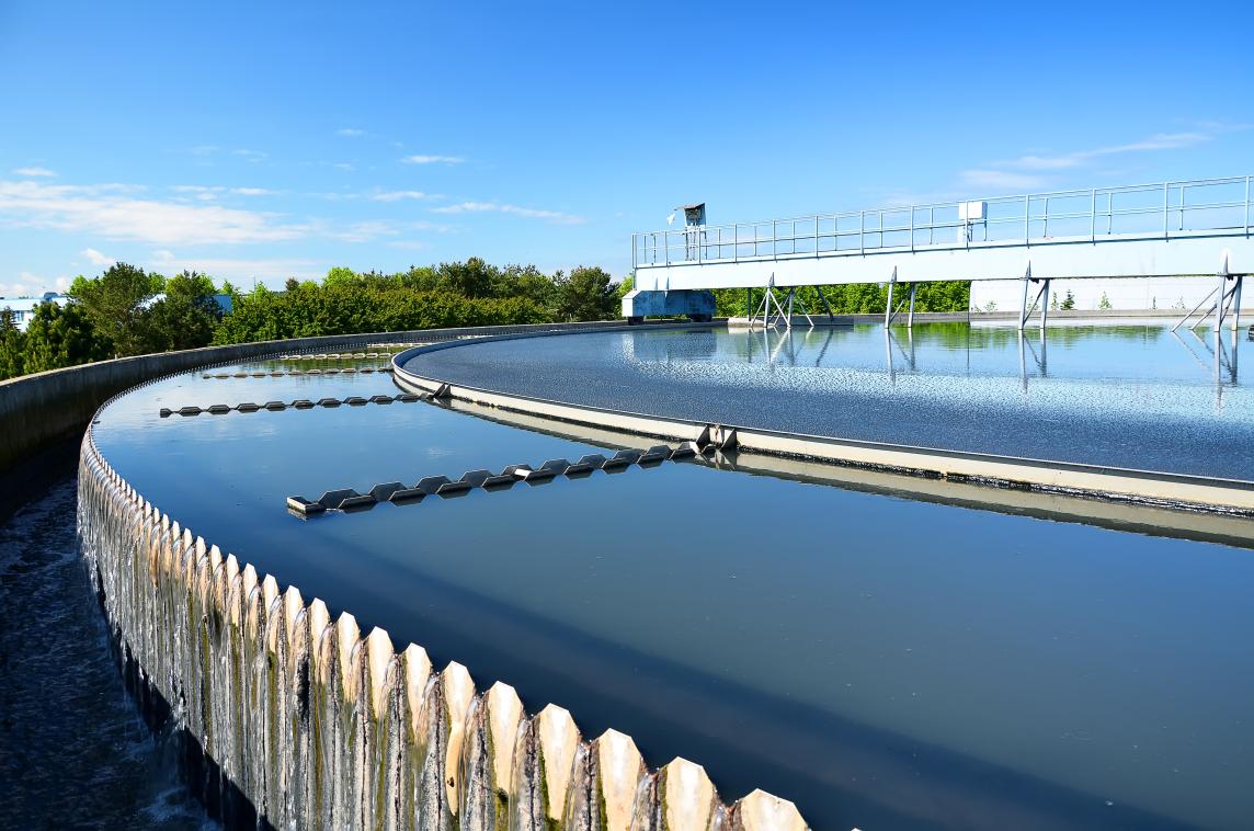
Water resources are essential for life on Earth, and their availability and quality are increasingly threatened by human activities and climate change. Satellite data plays a crucial role in monitoring water resources and providing valuable information for water management and decision-making.
Types Of Satellite Data Used For Water Resources Monitoring
There are various types of satellite data that can be used to monitor water resources, each with its own unique characteristics and applications.
Optical Satellite Data
Optical satellite data is collected in the visible and near-infrared bands of the electromagnetic spectrum. It provides information about the color and brightness of the Earth's surface, which can be used to derive various water-related parameters.
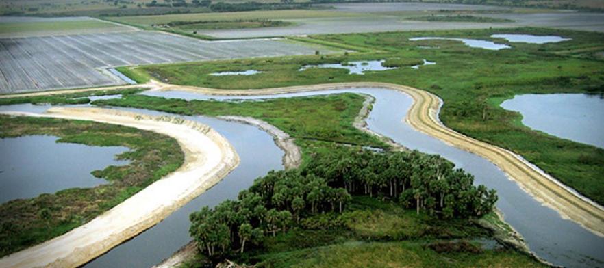
Water Body Mapping: Optical satellite data can be used to map and delineate water bodies, such as lakes, rivers, and reservoirs.
Water Quality Assessment: Optical satellite data can be used to assess water quality parameters, such as turbidity, chlorophyll concentration, and suspended sediment concentration.
Land Use and Land Cover Change Detection: Optical satellite data can be used to detect changes in land use and land cover, which can impact water resources.
Flood Monitoring and Inundation Mapping: Optical satellite data can be used to monitor floods and map inundated areas, providing valuable information for disaster management.
Drought Monitoring and Assessment: Optical satellite data can be used to monitor droughts and assess their impact on vegetation and water resources.
Radar Satellite Data
Radar satellite data is collected using radar sensors, which emit pulses of microwave energy and measure the reflected signals. Radar data can be used to derive information about the Earth's surface, including water bodies, soil moisture, and vegetation.
Soil Moisture Estimation: Radar satellite data can be used to estimate soil moisture content, which is crucial for agricultural water management and drought monitoring.
Flood Monitoring and Inundation Mapping: Radar satellite data can be used to monitor floods and map inundated areas, particularly in areas with dense vegetation or cloud cover.
Wetland Mapping and Monitoring: Radar satellite data can be used to map and monitor wetlands, which are important ecosystems for biodiversity and water storage.
Sea Ice Monitoring and Mapping: Radar satellite data can be used to monitor sea ice extent and thickness, which is important for climate studies and Arctic navigation.
Ship Detection and Tracking: Radar satellite data can be used to detect and track ships, which is useful for maritime surveillance and security.
Thermal Satellite Data
Thermal satellite data is collected in the thermal infrared band of the electromagnetic spectrum. It provides information about the temperature of the Earth's surface, which can be used to derive various water-related parameters.
Sea Surface Temperature Monitoring: Thermal satellite data can be used to monitor sea surface temperature, which is important for climate studies and fisheries management.
Land Surface Temperature Monitoring: Thermal satellite data can be used to monitor land surface temperature, which is useful for agricultural water management and drought monitoring.
Evapotranspiration Estimation: Thermal satellite data can be used to estimate evapotranspiration, which is the combined process of evaporation from the Earth's surface and transpiration from plants.
Water Stress Detection: Thermal satellite data can be used to detect water stress in plants, which is important for agricultural water management and drought monitoring.
Irrigation Water Management: Thermal satellite data can be used to monitor irrigation water use and optimize irrigation practices.
Altimetry Satellite Data
Altimetry satellite data is collected using radar altimeters, which measure the height of the sea surface above a reference surface. Altimetry data is used to derive various oceanographic parameters, including sea level, ocean circulation, and wave height.
Sea Level Monitoring: Altimetry satellite data is used to monitor global sea level rise, which is a critical indicator of climate change.
Ocean Circulation Studies: Altimetry satellite data is used to study ocean circulation patterns, which are important for climate studies and fisheries management.
Tide Prediction: Altimetry satellite data is used to predict tides, which is important for coastal navigation and flood forecasting.
Wave Height Estimation: Altimetry satellite data is used to estimate wave height, which is important for marine forecasting and offshore operations.
Storm Surge Monitoring: Altimetry satellite data is used to monitor storm surges, which are coastal flooding events caused by storms.
Gravity Satellite Data
Gravity satellite data is collected using gravimeters, which measure the Earth's gravitational field. Gravity data is used to derive various geophysical parameters, including groundwater storage, aquifer depletion, and land subsidence.
Groundwater Storage Monitoring: Gravity satellite data is used to monitor groundwater storage changes, which is important for water resources management and drought monitoring.
Aquifer Depletion Assessment: Gravity satellite data is used to assess aquifer depletion, which is the unsustainable extraction of groundwater.
Land Subsidence Monitoring: Gravity satellite data is used to monitor land subsidence, which can be caused by groundwater extraction or other factors.
Ice Sheet Mass Balance Estimation: Gravity satellite data is used to estimate the mass balance of ice sheets, which is important for climate studies and sea level rise monitoring.
Sea Level Rise Monitoring: Gravity satellite data is used to monitor sea level rise, which is a critical indicator of climate change.
Satellite data provides a wealth of information that can be used to monitor water resources and support water management decisions. Each type of satellite data has its own unique characteristics and applications, and the combination of different data sources can provide a comprehensive understanding of water resources dynamics.
As technology continues to advance, new satellite missions are being developed to collect even more detailed and accurate data about water resources. This will further enhance our ability to monitor and manage water resources in a sustainable manner.


Leave a Reply