How Can Satellite Data Be Used to Manage Water Resources in Urban Areas?
With the increasing urbanization and population growth, managing water resources in urban areas has become a critical challenge. Satellite data, with its ability to provide timely and accurate information about water bodies, land use, and environmental conditions, has emerged as a valuable tool for water resource management.
Types Of Satellite Data Used For Water Resource Management
- Optical Satellite Data:
- Radar Satellite Data:
- Microwave Satellite Data:
Optical satellite data, captured in the visible and near-infrared spectrum, provides detailed information about land cover, vegetation, and surface water. It is commonly used for water body mapping, land use classification, and change detection.
Radar satellite data, utilizing microwave frequencies, can penetrate clouds and darkness, making it suitable for all-weather and day-night monitoring. It is particularly useful for flood monitoring, soil moisture estimation, and vegetation mapping.
Microwave satellite data, operating at longer wavelengths, provides information about soil moisture, snow cover, and sea surface temperature. It is valuable for drought monitoring, agricultural water management, and climate studies.
Applications Of Satellite Data In Water Resource Management
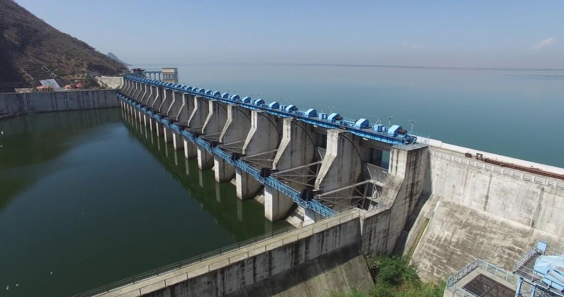
- Water Body Mapping and Monitoring:
- Water Quality Monitoring:
- Flood Monitoring and Forecasting:
- Water Use and Demand Estimation:

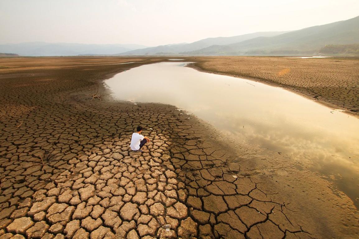
Satellite data can be used to map and monitor water bodies, including lakes, rivers, reservoirs, and wetlands. This information is crucial for understanding the distribution and extent of water resources and tracking changes over time.
Satellite data can be analyzed to derive information about water quality parameters such as turbidity, chlorophyll-a concentration, and suspended sediment concentration. This data helps monitor water quality and identify pollution sources.
Satellite data, particularly radar data, can be used to monitor floodplains, track floodwaters, and estimate flood inundation areas. This information is vital for flood forecasting, issuing early warnings, and implementing flood mitigation measures.
Satellite data can be used to estimate water use and demand by monitoring agricultural irrigation, urban water consumption, and industrial water withdrawals. This information is essential for water allocation, planning, and conservation efforts.
Challenges And Limitations Of Using Satellite Data
- Data Availability and Accessibility:
- Data Processing and Interpretation:
- Cloud Cover and Atmospheric Interference:
The availability and accessibility of satellite data can vary depending on the region, satellite platform, and data policy. Some data may be restricted or require subscription, limiting its widespread use.
Satellite data processing and interpretation require specialized skills and software. The complexity of data analysis can pose a challenge for non-experts and limit the accessibility of satellite data for decision-makers.
Cloud cover and atmospheric conditions can affect the quality and availability of satellite data. Optical satellite data, in particular, is limited by cloud cover, while radar data can be affected by atmospheric noise.
Satellite data has revolutionized water resource management in urban areas, providing valuable information for mapping, monitoring, and forecasting water resources. Despite the challenges, the integration of satellite data into water management practices has improved decision-making, enhanced water security, and contributed to sustainable urban development.
YesNo

Leave a Reply