How Can Satellite Data GIS Enhance Urban Planning and Infrastructure Development?
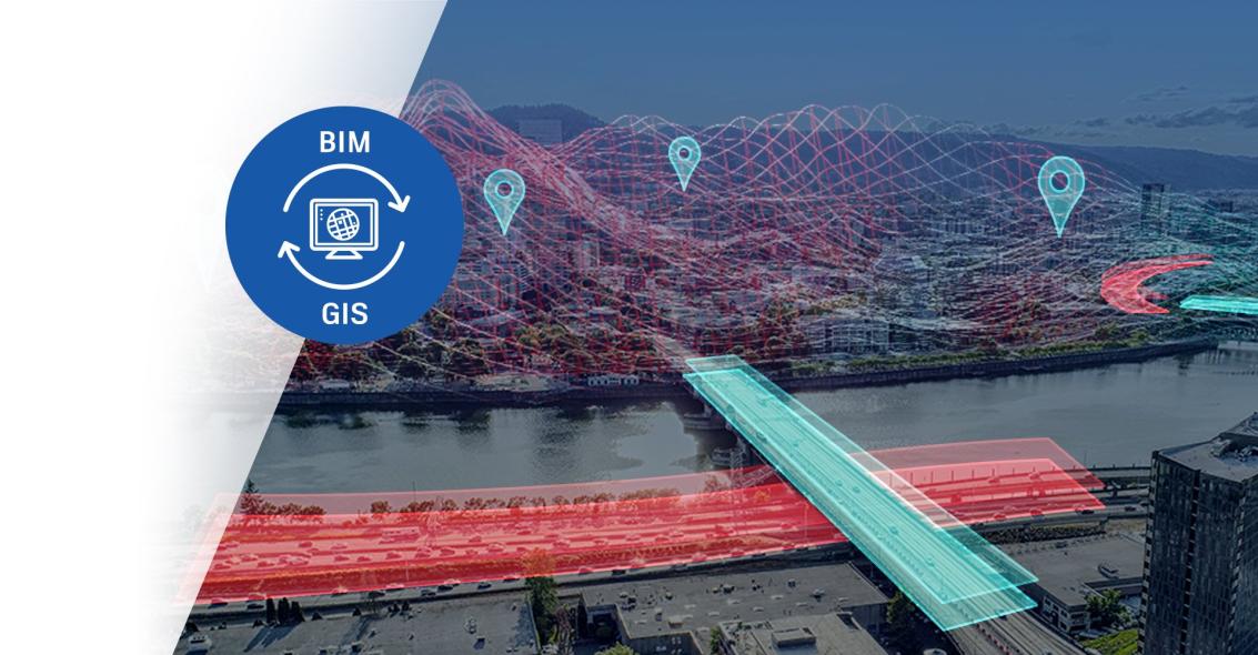
The integration of satellite data GIS (Geographic Information Systems) into urban planning and infrastructure development processes has revolutionized the way cities are designed, managed, and developed. Satellite data GIS provides a wealth of valuable information that enables urban planners and infrastructure developers to make informed decisions, optimize resource allocation, and create sustainable and resilient urban environments.

Benefits Of Satellite Data GIS In Urban Planning And Infrastructure Development
The integration of satellite data GIS into urban planning and infrastructure development offers numerous benefits, including:
- Comprehensive Data Collection and Analysis: Satellite imagery provides high-resolution data that can be used for land use mapping, change detection, and detailed urban feature analysis. Multispectral and hyperspectral data enable environmental monitoring, vegetation analysis, and identification of areas at risk.
- Enhanced Urban Planning: Satellite data GIS facilitates informed decision-making by providing accurate data visualization and analysis. It helps identify suitable locations for new developments, optimize land use and resource allocation, and create sustainable and resilient urban environments.
- Improved Infrastructure Development: Satellite data GIS assists in identifying critical infrastructure needs, planning and designing efficient transportation networks, assessing infrastructure condition and maintenance requirements, and monitoring infrastructure projects for timely completion.
Case Studies And Examples
Numerous case studies and examples demonstrate the successful application of satellite data GIS in urban planning and infrastructure development:
- Urban Planning: In Singapore, satellite data GIS was used to create a comprehensive land use plan that guided the city's development for over two decades, resulting in a sustainable and livable urban environment.
- Infrastructure Development: In Mumbai, India, satellite data GIS was employed to plan and design a new metro rail system, optimizing routes and station locations to improve public transportation efficiency.
Challenges And Limitations

Despite its benefits, the integration of satellite data GIS into urban planning and infrastructure development faces several challenges and limitations:
- Data Accessibility and Availability: Ensuring timely access to high-quality satellite data and addressing data gaps and inconsistencies can be challenging.
- Technical Expertise and Capacity: The need for skilled professionals trained in satellite data GIS and capacity building for effective data analysis and interpretation.
- Data Integration and Interoperability: Integrating satellite data GIS with other urban planning tools and ensuring data compatibility and seamless data sharing can be complex.
Future Directions And Conclusion
The future of satellite data GIS in urban planning and infrastructure development holds immense promise with emerging trends and innovations:
- Integration with AI and Machine Learning: The integration of satellite data GIS with artificial intelligence (AI) and machine learning algorithms will enhance data analysis capabilities and enable real-time monitoring and predictive modeling.
- Real-time Monitoring Systems: The development of real-time satellite data monitoring systems will provide continuous updates on urban dynamics, enabling proactive planning and response to changing conditions.
Supportive policies and regulations are crucial for the adoption of satellite data GIS. Collaboration between government agencies and private companies can foster innovation and drive progress in this field.
Satellite data GIS has revolutionized urban planning and infrastructure development by providing valuable data and insights. Its integration enables informed decision-making, optimization of resource allocation, and the creation of sustainable and resilient urban environments. As technology advances and challenges are addressed, the future of satellite data GIS in urban planning and infrastructure development is incredibly promising.
YesNo

Leave a Reply