How Can Satellite Data Enhance Land Use Planning and Management?
In the realm of land use planning and management, satellite data has emerged as a transformative tool, providing invaluable insights and enabling informed decision-making. This article delves into the significance of satellite data, its benefits, applications, challenges, and the need for continued investment and international cooperation in this domain.

Benefits Of Using Satellite Data In Land Use Planning And Management
The integration of satellite data into land use planning and management practices offers a multitude of benefits, including:
Comprehensive And Accurate Land Use Information:
- Satellite data provides detailed and up-to-date information on land cover and land use patterns, enabling comprehensive understanding of the current state of land resources.
- It facilitates the identification of changes in land use over time, allowing for effective monitoring and informed decision-making.
Improved Land Use Planning:
- Satellite data assists in identifying suitable areas for various land uses, such as agriculture, forestry, and urban development, ensuring optimal utilization of land resources.
- It facilitates the creation of land use plans that promote sustainable development, minimize environmental impacts, and enhance the overall quality of life.
Efficient Land Management:
- Satellite data aids in monitoring land use changes and identifying areas where land degradation is occurring, enabling timely intervention and mitigation measures.
- It supports the implementation of land management practices that conserve natural resources, prevent land degradation, and promote sustainable land use.
Applications Of Satellite Data In Land Use Planning And Management
Satellite data finds application in various aspects of land use planning and management, including:
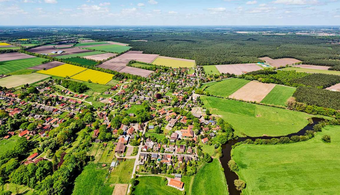
Land Cover Mapping:
- Satellite imagery is utilized to create detailed land cover maps, providing information on vegetation types, water bodies, and built-up areas.
- These maps serve as a foundation for land use planning and management decisions, ensuring informed and sustainable land use practices.
Land Use Change Detection:
- Satellite data enables the detection of land use changes over time, such as deforestation, urbanization, and agricultural expansion.
- This information is crucial for understanding the impacts of land use changes, developing appropriate management strategies, and mitigating negative consequences.
Land Degradation Assessment:
- Satellite data helps identify areas affected by land degradation, such as soil erosion, desertification, and salinization.
- It supports the development of land restoration and conservation programs, enabling proactive measures to address land degradation and preserve the integrity of ecosystems.
Urban Planning And Management:
- Satellite data provides information on urban land use patterns, including building density, transportation networks, and green spaces.
- This data is utilized for urban planning, infrastructure development, and improving the quality of life in urban areas, ensuring sustainable and livable urban environments.
Challenges And Limitations Of Using Satellite Data
Despite the numerous benefits, the use of satellite data in land use planning and management is not without challenges and limitations:
Data Availability And Accessibility:
- The availability of satellite data may vary depending on the region and the type of data required.
- Accessibility issues may arise due to data costs, technical expertise requirements, and data sharing policies, hindering the widespread use of satellite data.
Data Quality And Accuracy:
- Satellite data accuracy can be affected by factors such as cloud cover, atmospheric conditions, and sensor limitations, potentially leading to errors in land use classification and analysis.
- Ensuring data quality and accuracy is essential for effective land use planning and management, requiring rigorous data validation and quality control processes.
Data Integration And Analysis:
- Integrating satellite data with other geospatial data and conducting comprehensive analysis can be complex and time-consuming, requiring specialized skills and computational resources.
- Capacity building and training are needed to enhance the skills of professionals in handling and analyzing satellite data, ensuring effective utilization of this valuable resource.
Satellite data has revolutionized the field of land use planning and management, providing invaluable insights and enabling informed decision-making. Its benefits, ranging from comprehensive land use information to efficient land management, are undeniable. However, challenges related to data availability, accuracy, and analysis persist, requiring continued investment in satellite data acquisition, processing, and analysis. International cooperation and data sharing are also crucial to maximize the benefits of satellite data for land use planning and management, ensuring sustainable and equitable land use practices worldwide.
YesNo

Leave a Reply