How Can Satellite Data Be Used to Track Land Use Changes in Urban Areas?
As urban areas continue to expand and evolve, monitoring land use changes is crucial for sustainable urban planning and management. Satellite data provides a valuable tool for tracking these changes, offering a comprehensive and cost-effective means of collecting information over large areas.
Methods Of Satellite Data Collection
Satellite data for land use change detection can be acquired from various sources, including:
- Earth observation satellites: These satellites are specifically designed to collect data about the Earth's surface, providing high-resolution imagery and other valuable information.
- Unmanned aerial vehicles (UAVs): UAVs, also known as drones, can be equipped with sensors to collect high-resolution imagery and other data at low altitudes.
- Commercial satellite imagery providers: Several companies offer commercial satellite imagery services, providing access to high-resolution imagery from various satellites.
Techniques For Land Use Change Detection
Once satellite data is acquired, various techniques can be employed to detect land use changes. These techniques include:
- Image classification: This technique involves categorizing pixels in a satellite image into different land use classes based on their spectral characteristics.
- Change detection algorithms: These algorithms compare multiple satellite images taken at different times to identify areas where land use has changed.
- Vegetation indices: Vegetation indices are mathematical combinations of different spectral bands that can be used to monitor changes in vegetation cover.
- Texture analysis: This technique involves analyzing the spatial arrangement of pixels in a satellite image to identify changes in land use patterns.
- Object-based image analysis: This technique involves segmenting a satellite image into meaningful objects, such as buildings or roads, and then analyzing these objects to detect land use changes.
Applications Of Satellite Data In Urban Land Use Change Monitoring
Satellite data has a wide range of applications in urban land use change monitoring, including:
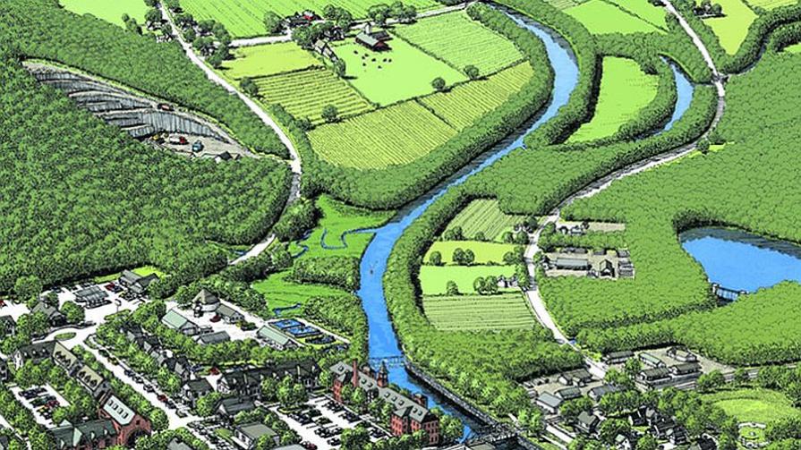
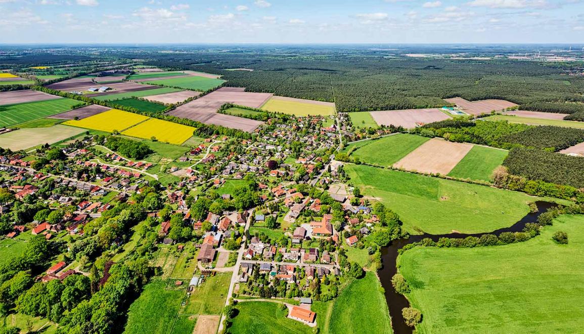
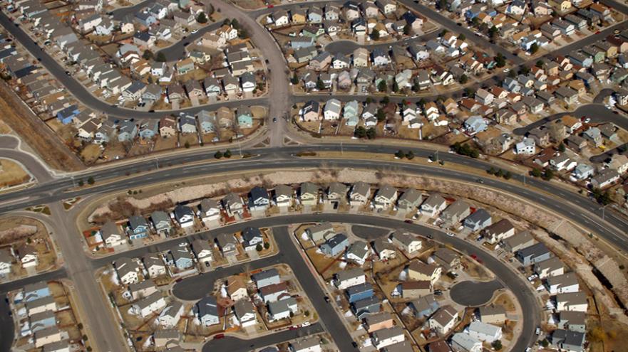
- Urban sprawl analysis: Satellite data can be used to monitor the expansion of urban areas and identify areas at risk of urban sprawl.
- Detection of informal settlements: Satellite data can be used to identify informal settlements, which are often characterized by unplanned and overcrowded housing.
- Monitoring of land use policies and regulations: Satellite data can be used to monitor compliance with land use policies and regulations, ensuring that urban development is carried out in a sustainable manner.
- Urban planning and management: Satellite data can be used to support urban planning and management decisions, such as the allocation of land for different uses and the development of transportation infrastructure.
- Environmental impact assessment: Satellite data can be used to assess the environmental impact of urban development, such as changes in air quality, water quality, and vegetation cover.
Challenges And Limitations Of Satellite Data For Land Use Change Detection
Despite its many advantages, satellite data also has some challenges and limitations for land use change detection, including:
- Cloud cover and atmospheric interference: Cloud cover and atmospheric conditions can affect the quality of satellite imagery, making it difficult to detect land use changes.
- Spatial and temporal resolution limitations: The spatial and temporal resolution of satellite imagery can limit its ability to detect fine-scale land use changes or changes that occur over short periods of time.
- Data processing and analysis requirements: Processing and analyzing satellite data can be complex and time-consuming, requiring specialized software and expertise.
- Accessibility and cost of satellite data: Access to satellite data can be restricted or costly, particularly for high-resolution imagery.
Satellite data provides a powerful tool for tracking land use changes in urban areas. By utilizing various data collection methods, change detection techniques, and applications, satellite data can support sustainable urban planning and management, helping to address challenges such as urban sprawl, informal settlements, and environmental degradation. As technology continues to advance, the potential of satellite data for land use change monitoring is expected to grow even further, enabling more accurate, timely, and comprehensive monitoring of urban areas.
Future research and development efforts should focus on addressing the challenges and limitations associated with satellite data for land use change detection, such as improving the spatial and temporal resolution of satellite imagery, developing more sophisticated change detection algorithms, and making satellite data more accessible and affordable. Additionally, exploring the integration of satellite data with other data sources, such as census data, social media data, and mobile phone data, can further enhance the understanding of land use changes and their impacts on urban areas.
YesNo

Leave a Reply