How Can Satellite Data Be Used to Promote Sustainable Land Use Practices?
In the face of pressing global challenges such as food insecurity, climate change, and biodiversity loss, the adoption of sustainable land use practices has become imperative. Satellite data, with its ability to provide valuable information on land cover, land use changes, and environmental indicators, plays a crucial role in supporting sustainable land use planning and management.
Benefits Of Using Satellite Data For Sustainable Land Use:
- Accurate and Timely Information: Satellite data provides accurate and timely information on land cover, land use changes, and environmental indicators, enabling decision-makers to make informed choices regarding land use planning and management.
- Cost-effectiveness and Scalability: Satellite data is a cost-effective and scalable method of data collection compared to traditional methods, making it accessible to a wide range of stakeholders.
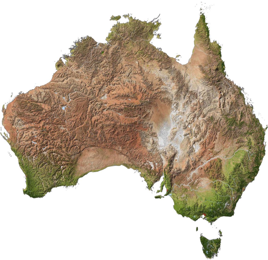
- Global Coverage: Satellite data provides global coverage, allowing for the monitoring of land use practices across vast areas and facilitating comparisons between different regions.
Applications Of Satellite Data In Sustainable Land Use:
Satellite data is being used in a variety of ways to promote sustainable land use practices around the world:
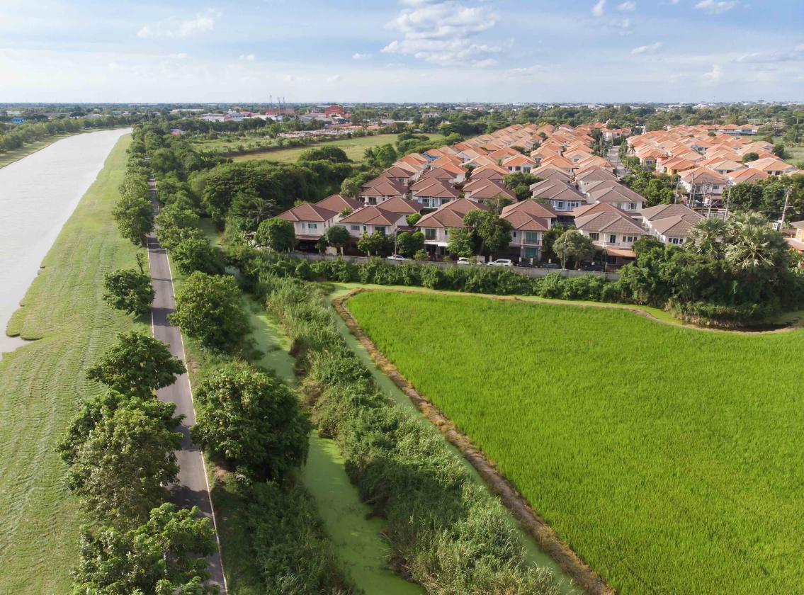
- Land Use Planning: Satellite data is used to create land use maps and identify areas suitable for different types of land use, such as agriculture, forestry, and urban development.
- Deforestation Monitoring: Satellite data is used to monitor deforestation and forest degradation, enabling timely interventions to protect forests and mitigate climate change.
- Agricultural Productivity: Satellite data is used to monitor crop growth, identify areas of stress, and provide information for precision agriculture practices, leading to increased productivity and reduced environmental impact.
- Water Resources Management: Satellite data is used to monitor water bodies, track water use, and identify areas of water scarcity, supporting sustainable water resources management.
Challenges And Limitations Of Satellite Data Use:
While satellite data offers significant benefits, there are also challenges and limitations associated with its use:
- Data Availability: Satellite data availability can be limited in certain regions or for specific time periods, affecting the scope and accuracy of analysis.
- Data Quality: The quality of satellite data can vary depending on factors such as cloud cover, atmospheric conditions, and sensor resolution, potentially impacting the reliability of the information derived.
- Data Analysis Expertise: Specialized expertise is required to analyze and interpret satellite data, which can limit the accessibility and usability of the data for stakeholders without the necessary skills.
Future Directions And Opportunities:
The future of satellite data use in sustainable land use practices holds immense promise:
- Technological Advancements: Advancements in satellite technology and data analysis techniques are expected to improve the accuracy, resolution, and accessibility of satellite data.
- Policy and Regulation: Satellite data can support the development of innovative land use policies and regulations, promoting sustainable land use practices at local, regional, and global levels.
- International Cooperation: International cooperation and data sharing can maximize the benefits of satellite data for sustainable land use, enabling the exchange of knowledge, expertise, and resources.
Satellite data is a powerful tool that can significantly contribute to promoting sustainable land use practices. By providing accurate and timely information, satellite data empowers decision-makers, land managers, and stakeholders to make informed choices that balance economic development with environmental sustainability. Continued investment in satellite technology, data analysis capabilities, and capacity building will further enhance the effectiveness of satellite data in supporting sustainable land use and addressing the pressing challenges facing our planet.
YesNo

Leave a Reply