Investigating the Application of Satellite Data GIS in Agriculture and Food Security
As the global population continues to grow, ensuring food security and sustainable agriculture practices has become a pressing challenge. Satellite data GIS (Geographic Information Systems) has emerged as a powerful tool in addressing these challenges, providing valuable insights and information to stakeholders across the agricultural and food security sectors.

Satellite Data GIS: A Game-Changer For Agriculture And Food Security
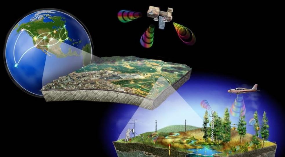
Satellite data GIS combines satellite imagery, geospatial data, and advanced analytical techniques to provide real-time and historical information about agricultural land, crop conditions, soil moisture levels, and other factors that influence food production and food security.
- Satellite data GIS enables precise monitoring of crop growth, allowing farmers to make informed decisions about irrigation, fertilization, and pest control, leading to increased yields and reduced costs.
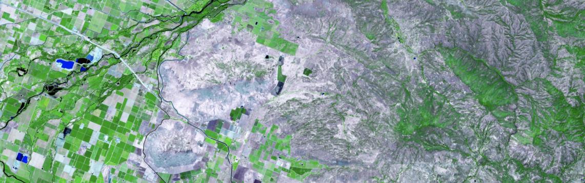
- By mapping land use and land cover changes, satellite data GIS helps identify areas suitable for agriculture, preventing deforestation and promoting sustainable land management practices.
- Satellite data GIS provides accurate soil moisture estimates, aiding in irrigation scheduling and water management, particularly in regions facing water scarcity.
Satellite Data GIS Applications In Food Security
Satellite data GIS plays a crucial role in ensuring food security by providing timely and accurate information to policymakers, humanitarian organizations, and other stakeholders.
- Satellite data GIS helps track food production and supply chains, enabling efficient distribution of food resources and preventing shortages.
- By identifying areas vulnerable to food insecurity, satellite data GIS facilitates targeted interventions and resource allocation, ensuring that aid reaches those who need it most.
- Satellite data GIS contributes to the development of early warning systems for food crises, providing timely alerts to prevent or mitigate the impact of food shortages.
Challenges And Opportunities
Despite its immense potential, the use of satellite data GIS in agriculture and food security faces several challenges.
- Data availability and accessibility remain a concern, especially in developing countries with limited resources.
- The high cost of satellite data and GIS software can hinder its widespread adoption by smallholder farmers and local organizations.
- Capacity building and training are essential to ensure that stakeholders have the skills and knowledge to effectively utilize satellite data GIS.
Despite these challenges, the opportunities presented by satellite data GIS are immense. Continued research and development in this field, coupled with increased collaboration between governments, academia, and the private sector, can unlock the full potential of satellite data GIS in transforming agriculture and ensuring food security for all.
Satellite data GIS has revolutionized the way we monitor and manage agricultural resources and food security. Its ability to provide real-time and historical data, combined with advanced analytical techniques, has empowered stakeholders to make informed decisions, improve agricultural practices, and address food security challenges.
As satellite technology continues to advance and data accessibility improves, the potential of satellite data GIS in agriculture and food security is limitless. By harnessing the power of satellite data GIS, we can work towards a future where food security is guaranteed, and sustainable agriculture practices are the norm.
YesNo

Leave a Reply