Investigating the Future Trends and Innovations in Satellite Data GIS Technology
Satellite data GIS technology has revolutionized the way we collect, analyze, and visualize geospatial information. From urban planning and environmental monitoring to disaster response and agriculture, satellite data GIS technology has become an indispensable tool in a wide range of fields.
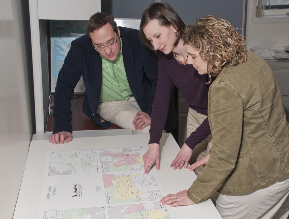
However, as technology continues to advance, so too do the demands on satellite data GIS technology. The need for higher resolution imagery, more accurate data, and faster processing times is driving the development of new and innovative solutions.
Future Trends In Satellite Data GIS Technology
A. Increased Resolution and Accuracy
One of the most significant trends in satellite data GIS technology is the move towards higher resolution and more accurate imagery. This is being driven by the development of new satellite platforms and sensors, as well as advances in data processing and analysis techniques.
- Benefits of Higher Resolution and Accuracy: Higher resolution and accuracy satellite imagery enables users to see more detail and make more precise measurements. This is essential for a wide range of applications, such as land use planning, environmental monitoring, and disaster response.
- Real-World Examples: Higher resolution and accuracy satellite imagery is being used to create detailed maps of urban areas, monitor deforestation in the Amazon rainforest, and track the movement of glaciers in Antarctica.
B. Improved Data Processing and Analysis
Another key trend in satellite data GIS technology is the development of new and improved methods for processing and analyzing satellite data. This is being driven by the increasing availability of cloud computing resources and the development of new algorithms and software tools.
- Benefits of Improved Data Processing and Analysis: Improved data processing and analysis methods enable researchers and analysts to extract more valuable information from satellite data. This can be used to address a wide range of real-world problems, such as climate change, food security, and public health.
- Real-World Examples: Improved data processing and analysis methods are being used to track the spread of infectious diseases, monitor crop yields, and predict natural disasters.
C. Integration with Other Technologies

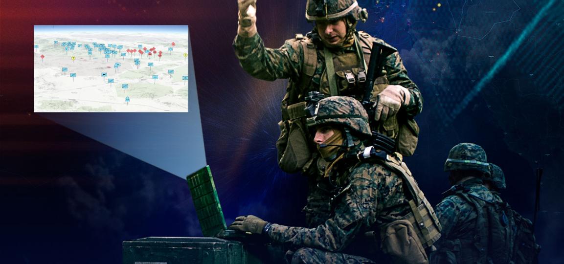
A third major trend in satellite data GIS technology is the increasing integration with other technologies, such as artificial intelligence (AI), machine learning (ML), and the Internet of Things (IoT). This is creating new opportunities for innovation and is enabling the development of new and more powerful GIS applications.
- Benefits of Integration with Other Technologies: Integrating satellite data GIS technology with other technologies can improve the accuracy and efficiency of data processing and analysis. It can also enable the development of new applications that were previously impossible.
- Real-World Examples: Satellite data GIS technology is being integrated with AI and ML to develop new methods for land use classification and change detection. It is also being integrated with IoT devices to create real-time monitoring systems for environmental and agricultural applications.
Innovations In Satellite Data GIS Technology
A. New Satellite Platforms
The development of new satellite platforms is one of the most exciting innovations in satellite data GIS technology. These new platforms are specifically designed for GIS applications and offer a number of advantages over traditional satellite platforms.
- Advantages of New Satellite Platforms: New satellite platforms offer higher resolution imagery, more accurate data, and faster processing times. They are also more flexible and can be customized to meet the specific needs of GIS users.
- Real-World Examples: New satellite platforms are being used to collect data for a wide range of applications, including urban planning, environmental monitoring, and disaster response.
B. Advanced Sensors and Instruments
The development of new and advanced sensors and instruments is another key innovation in satellite data GIS technology. These new sensors and instruments are improving the quality and accuracy of satellite data.
- Benefits of Advanced Sensors and Instruments: Advanced sensors and instruments are enabling the collection of data at higher resolutions, with greater accuracy, and in more spectral bands. This is opening up new possibilities for GIS applications.
- Real-World Examples: Advanced sensors and instruments are being used to collect data on land use, vegetation, and water quality. They are also being used to monitor the movement of glaciers and ice sheets.
C. Cloud Computing and Big Data Analytics
The role of cloud computing and big data analytics in satellite data GIS technology is growing rapidly. Cloud computing provides the resources needed to process and analyze large volumes of satellite data. Big data analytics provides the tools and techniques needed to extract valuable information from satellite data.
- Benefits of Cloud Computing and Big Data Analytics: Cloud computing and big data analytics enable researchers and analysts to process and analyze satellite data more efficiently and effectively. This is leading to new insights and discoveries.
- Real-World Examples: Cloud computing and big data analytics are being used to develop new methods for land use classification, change detection, and disaster response. They are also being used to create new applications for environmental monitoring and agriculture.
The future of satellite data GIS technology is bright. The development of new satellite platforms, sensors, and instruments, as well as advances in data processing and analysis techniques, is opening up new possibilities for GIS applications. This technology is poised to play an increasingly important role in addressing a wide range of global challenges, from climate change to food security to public health.
As the technology continues to evolve, it is important for GIS professionals to stay up-to-date on the latest trends and innovations. This will enable them to take advantage of the new opportunities that satellite data GIS technology offers and to use it to make a positive impact on the world.
YesNo

Leave a Reply