How Can Satellite Data Remote Sensing Be Used to Monitor Deforestation?
Deforestation, the clearing of forests for various purposes such as agriculture, urbanization, and logging, is a major environmental concern due to its detrimental impact on biodiversity, climate regulation, and carbon sequestration. Satellite data remote sensing has emerged as a powerful tool for monitoring deforestation and providing valuable insights into forest dynamics.
Methods Of Satellite Data Remote Sensing For Deforestation Monitoring
Satellite data remote sensing employs various technologies to collect and analyze data from satellites orbiting Earth. These technologies include:
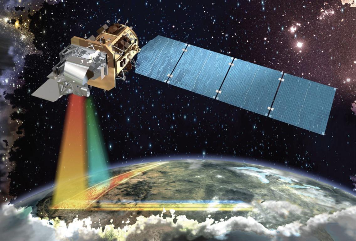
Optical Remote Sensing
- Multispectral Imagery: Satellites equipped with multispectral sensors capture images in multiple spectral bands, allowing for the identification and classification of different land cover types, including forests.
- Advantages: High spatial resolution, cost-effectiveness, and extensive historical data availability.
- Limitations: Susceptibility to cloud cover and atmospheric interference.
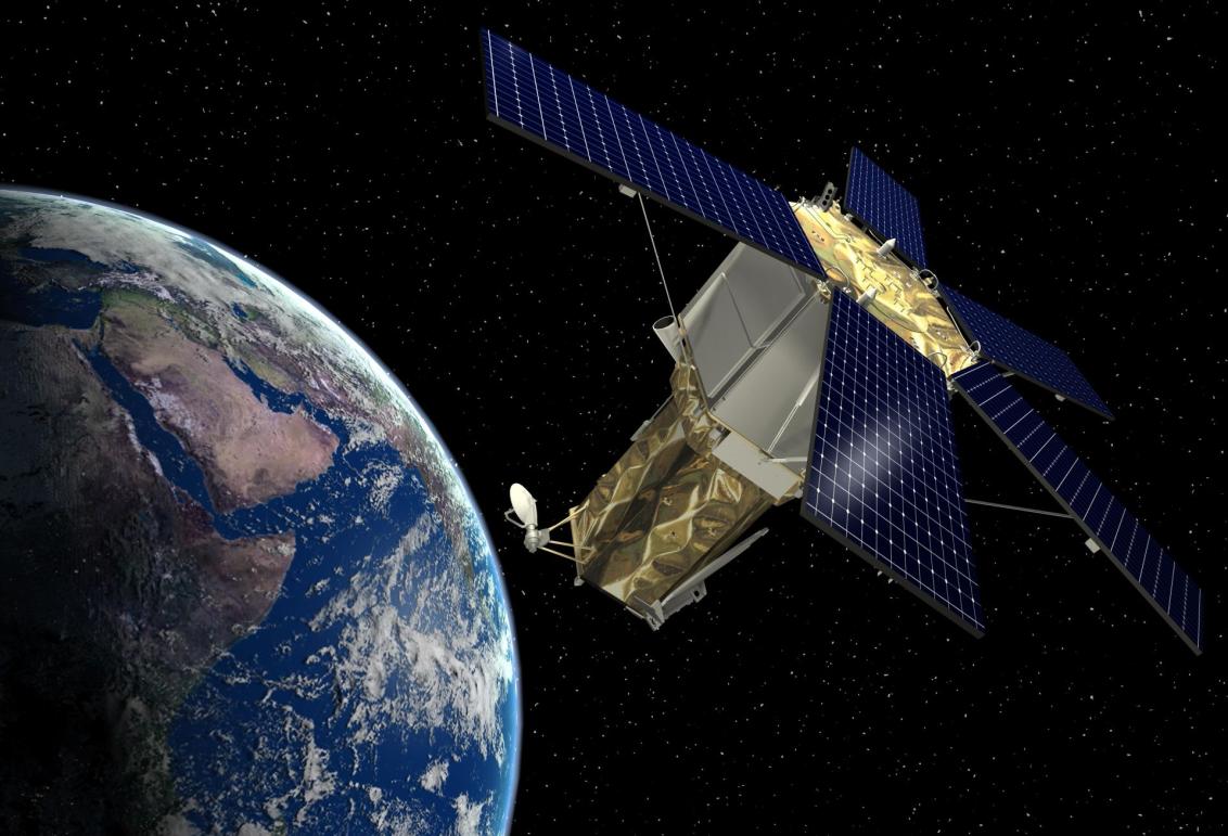
Radar Remote Sensing
- Synthetic Aperture Radar (SAR) Imagery: SAR sensors emit microwave pulses and analyze the reflected signals to generate images. This technology can penetrate clouds and vegetation, making it useful for monitoring deforestation in areas with persistent cloud cover.
- Advantages: All-weather capability, ability to penetrate vegetation, and sensitivity to forest structure.
- Limitations: Lower spatial resolution compared to optical imagery and higher data processing requirements.
LiDAR Remote Sensing
- Light Detection and Ranging (LiDAR) Technology: LiDAR sensors emit laser pulses and measure the time it takes for the reflected signals to return. This technology provides detailed information on forest structure and canopy height.
- Advantages: High vertical accuracy, ability to measure forest height and biomass, and detailed representation of forest structure.
- Limitations: High cost, limited spatial coverage, and susceptibility to atmospheric conditions.
Applications Of Satellite Data Remote Sensing In Deforestation Monitoring
Satellite data remote sensing finds numerous applications in deforestation monitoring, including:
Detecting and Mapping Deforestation
- Change Detection Analysis: By comparing satellite images taken at different times, deforestation can be detected and mapped. This analysis helps identify areas where forests have been cleared or degraded.
- Forest Cover Loss and Gain Assessment: Satellite data can be used to quantify forest cover loss and gain, providing insights into the rate and extent of deforestation.
Estimating Forest Biomass and Carbon Stocks
- Above-ground Biomass Estimation: Satellite data can be used to estimate above-ground biomass, which is a key indicator of forest health and carbon storage capacity.
- Carbon Stock Assessment: By combining biomass estimates with information on forest area, carbon stocks can be assessed, contributing to global carbon accounting and climate change mitigation efforts.
Monitoring Forest Degradation
- Identifying Areas of Forest Degradation: Satellite data can help identify areas where forests have been degraded, even if they have not been completely cleared. This information is crucial for forest management and conservation efforts.
- Assessing the Severity of Forest Degradation: Satellite data can be used to assess the severity of forest degradation, providing insights into the extent of damage and the need for restoration interventions.
Challenges And Limitations Of Satellite Data Remote Sensing For Deforestation Monitoring
Despite its immense potential, satellite data remote sensing for deforestation monitoring faces several challenges and limitations:
Cloud Cover and Atmospheric Interference
- Cloud cover and atmospheric conditions can hinder the acquisition of clear satellite images, particularly in tropical regions with frequent cloud cover.
Spatial and Temporal Resolution Limitations
- The spatial and temporal resolution of satellite data can limit the ability to detect small-scale deforestation events or monitor rapid changes in forest cover.
Data Processing and Interpretation Challenges
- Processing and interpreting large volumes of satellite data require specialized expertise and computational resources.
Satellite data remote sensing has revolutionized deforestation monitoring, providing valuable insights into forest dynamics and contributing to conservation efforts. By leveraging various technologies, including optical, radar, and LiDAR remote sensing, deforestation can be detected, mapped, and quantified. Satellite data also enables the estimation of forest biomass, carbon stocks, and the assessment of forest degradation. Despite the challenges and limitations, satellite data remote sensing remains a powerful tool for monitoring deforestation and supporting sustainable forest management practices.
As technology continues to advance, the integration of satellite data with other sources of information, such as field data and socioeconomic data, will further enhance the accuracy and effectiveness of deforestation monitoring. This will contribute to improved forest conservation and management strategies, ultimately promoting sustainable land use practices and mitigating the impacts of deforestation on biodiversity, climate regulation, and carbon sequestration.
YesNo

Leave a Reply