How Can We Improve the Accuracy and Resolution of Satellite Data Remote Sensing?
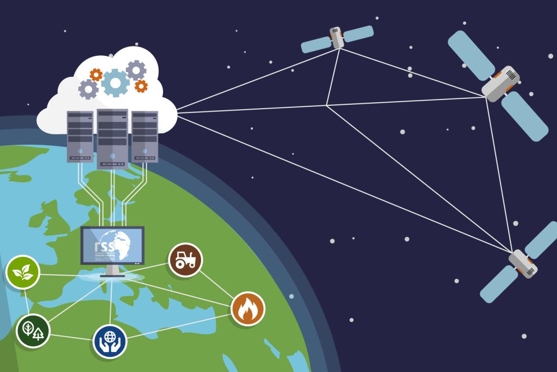
Satellite data remote sensing is a powerful tool for observing and monitoring the Earth's surface. It has a wide range of applications, including land use mapping, crop monitoring, disaster response, and climate change research. However, the accuracy and resolution of satellite data can be limited by a number of factors, including sensor characteristics, atmospheric conditions, and Earth surface conditions.
Factors Affecting Accuracy And Resolution Of Satellite Data Remote Sensing
- Sensor Characteristics: The accuracy and resolution of satellite data are affected by the characteristics of the sensor used to collect the data. These characteristics include spatial resolution, spectral resolution, radiometric resolution, and temporal resolution.
- Atmospheric Conditions: The atmosphere can also affect the accuracy and resolution of satellite data. Clouds, aerosols, and water vapor can all interfere with the transmission of light from the Earth's surface to the satellite sensor.
- Earth Surface Conditions: The conditions on the Earth's surface can also affect the accuracy and resolution of satellite data. Land cover, topography, and soil moisture can all affect the way that light is reflected from the Earth's surface.
Techniques For Improving Accuracy And Resolution Of Satellite Data Remote Sensing
- Image Preprocessing: Image preprocessing techniques can be used to improve the accuracy and resolution of satellite data. These techniques include radiometric calibration, geometric correction, and atmospheric correction.
- Image Enhancement: Image enhancement techniques can be used to improve the visual quality of satellite data. These techniques include contrast enhancement, edge detection, and filtering.
- Image Classification: Image classification techniques can be used to identify and classify different features in satellite data. These techniques include supervised classification, unsupervised classification, and object-based classification.
- Data Fusion: Data fusion techniques can be used to combine data from different sources to create a more accurate and comprehensive picture of the Earth's surface. These techniques include pan-sharpening, hyperspectral and multispectral data fusion, and SAR and optical data fusion.
Challenges And Future Directions
- Big Data Handling and Processing: The increasing volume of satellite data is creating challenges for data handling and processing. New techniques are needed to efficiently store, manage, and process large datasets.
- Cloud Computing and Artificial Intelligence: Cloud computing and artificial intelligence are emerging technologies that have the potential to revolutionize the way that satellite data is processed and analyzed. These technologies can be used to develop new algorithms for image processing, classification, and data fusion.
- Integration of Satellite Data with Other Data Sources: Satellite data can be integrated with other data sources, such as ground-based observations, aerial photography, and lidar data, to create a more comprehensive picture of the Earth's surface. New techniques are needed to integrate data from different sources and to extract meaningful information from the integrated data.
- Development of New Sensors and Platforms: The development of new sensors and platforms is also essential for improving the accuracy and resolution of satellite data. New sensors can be designed to collect data at higher spatial and spectral resolutions. New platforms can be used to place satellites in new orbits, which can provide different perspectives of the Earth's surface.
Satellite data remote sensing is a powerful tool for observing and monitoring the Earth's surface. However, the accuracy and resolution of satellite data can be limited by a number of factors. By understanding the factors that affect accuracy and resolution, and by using appropriate techniques to improve accuracy and resolution, we can make better use of satellite data to address a wide range of environmental and societal challenges.
YesNo

Leave a Reply