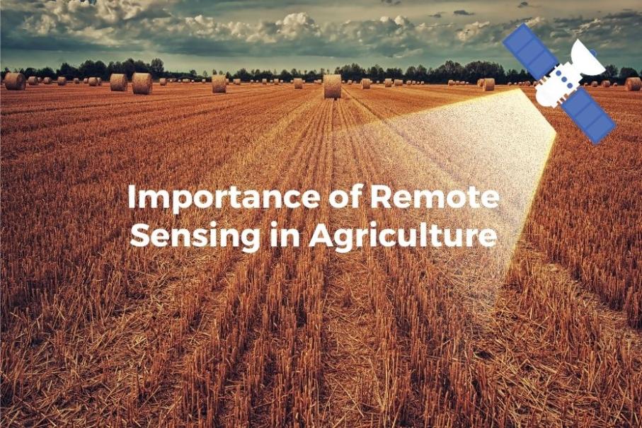
How Can Satellite Data Remote Sensing Be Used to Improve Agriculture?
Satellite data remote sensing has emerged as a powerful tool for transforming agricultural practices and addressing global food security challenges. By collecting and analyzing data from satellites orbiting the Earth, we can gain valuable insights into crop health, land use patterns, soil moisture levels, and pest infestations. This information can be used to improve crop monitoring, yield estimation, land use planning, water management, pest control, and precision agriculture, ultimately leading to increased productivity and sustainability in the agricultural sector.
Benefits Of Satellite Data Remote Sensing In Agriculture
- Crop Monitoring and Yield Estimation: Satellite data can be used to monitor crop growth, detect stress and diseases, and estimate crop yields. This information helps farmers make informed decisions about irrigation, fertilization, and pest control, leading to improved crop yields and reduced losses.
- Land Use and Land Cover Mapping: Satellite data can be used to map and monitor agricultural land use patterns, identify areas suitable for agricultural expansion or conservation, and support land use planning and policy-making.
- Soil Moisture and Water Management: Satellite data can be used to monitor soil moisture levels and irrigation needs, optimize water use efficiency, and support sustainable water management practices.
- Pest and Disease Management: Satellite data can be used to detect and monitor pest and disease outbreaks, develop targeted pest and disease management strategies, and reduce the use of pesticides and herbicides.
- Precision Agriculture: Satellite data can be used to enable precision farming practices, such as variable rate application of inputs, which improves input efficiency, reduces environmental impact, and increases crop productivity and profitability.
Challenges And Limitations Of Satellite Data Remote Sensing In Agriculture
- Data Availability and Accessibility: Ensuring timely and reliable access to satellite data, addressing data gaps and inconsistencies, and providing data in formats that are accessible to farmers and agricultural professionals remain challenges.
- Data Processing and Interpretation: Developing robust algorithms and tools for processing and interpreting satellite data, overcoming challenges related to cloud cover and atmospheric conditions, and integrating satellite data with other data sources are ongoing areas of research and development.
- Capacity Building and Training: Providing training and support to farmers and agricultural professionals to enhance the adoption and utilization of satellite data in agriculture is essential for realizing the full potential of this technology.
Future Prospects And Opportunities
- Advanced Satellite Technologies: Exploring the potential of new satellite technologies, such as hyperspectral imaging and radar, and developing more accurate and detailed satellite data products can further enhance the value of satellite data in agriculture.
- Artificial Intelligence and Machine Learning: Utilizing AI and ML techniques to improve data processing and interpretation, develop predictive models for crop yield estimation and pest management, and integrate satellite data with IoT sensors and smart farming technologies can revolutionize agricultural practices.
- Policy and Regulatory Support: Encouraging government support for satellite data utilization in agriculture, developing policies and regulations to facilitate data sharing and access, and promoting collaboration between the public and private sectors are crucial for fostering a supportive ecosystem for satellite data-driven agriculture.
Satellite data remote sensing has the potential to transform agricultural practices and address global food security challenges. By providing valuable insights into crop health, land use patterns, soil moisture levels, and pest infestations, satellite data can help farmers make informed decisions, improve crop yields, optimize resource use, and reduce environmental impact. Continued investment in satellite data infrastructure, research, and capacity building is essential to unlock the full potential of this technology and ensure a sustainable and productive agricultural future.
YesNo

Leave a Reply