Satellite Data: A Surgeon's Ally in Disaster Management
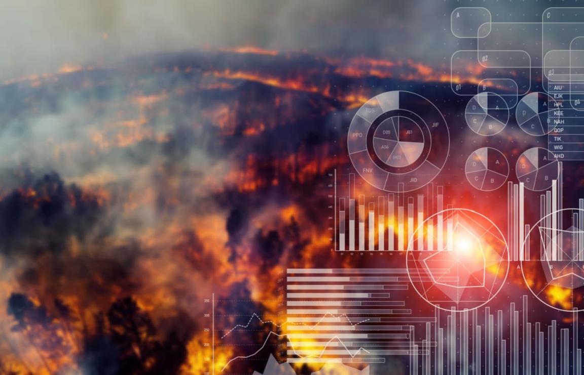
In the face of catastrophic events, timely and accurate information is paramount for effective disaster management. Satellite data, with its unique vantage point and ability to provide real-time information, has emerged as a vital tool for disaster response teams.
Satellite Data: A Lifeline In Times Of Crisis
Satellite data offers a multitude of advantages in disaster management:
- Comprehensive Coverage: Satellites can monitor vast areas, providing a comprehensive view of the disaster-affected region.
- Real-Time Monitoring: Satellite data can be collected and processed rapidly, enabling real-time monitoring of disaster events.
- All-Weather Capability: Satellites can penetrate clouds and darkness, providing data even in challenging weather conditions.
- Multispectral Imaging: Satellite sensors can capture data across multiple wavelengths, providing valuable information for damage assessment and relief efforts.
Satellite Data Applications: From Damage Assessment To Relief Distribution
The applications of satellite data in disaster management are far-reaching:
Damage Assessment:
- Satellite imagery can identify damaged infrastructure, buildings, and roads, aiding in the assessment of the extent of the disaster.
- Synthetic aperture radar (SAR) data can be used for flood mapping and damage detection, providing critical information for relief efforts.
- Integration of satellite data with Geographic Information Systems (GIS) enables comprehensive damage assessment and visualization.
Evacuation Planning:
- Satellite data can help identify safe evacuation routes, considering factors such as road conditions and traffic patterns.
- Satellite imagery can be used to assess road conditions and identify potential hazards, facilitating efficient evacuation planning.
- Integration of satellite data with population data allows for targeted evacuation planning, prioritizing vulnerable communities.
Relief Distribution:
- Satellite data can identify areas with the greatest need for relief supplies, ensuring that aid is directed to the most affected regions.
- Satellite imagery can be used to monitor the movement of relief supplies, ensuring efficient and timely delivery.
- Integration of satellite data with logistics data enables optimized relief distribution, minimizing delays and maximizing impact.
Case Studies: Satellite Data In Action
Satellite data has proven its worth in numerous disaster response operations:
2004 Indian Ocean Earthquake and Tsunami:
- Satellite imagery was used for damage assessment and relief distribution, providing critical information for the international response effort.
- Integration of satellite data with GIS enabled comprehensive disaster response planning and coordination.
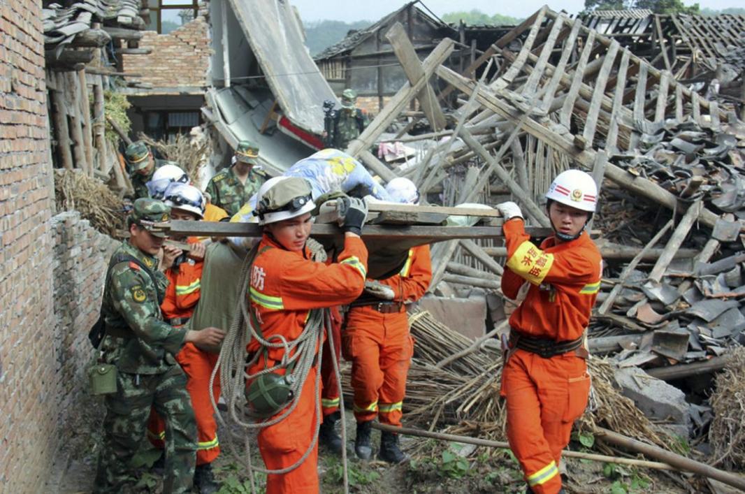
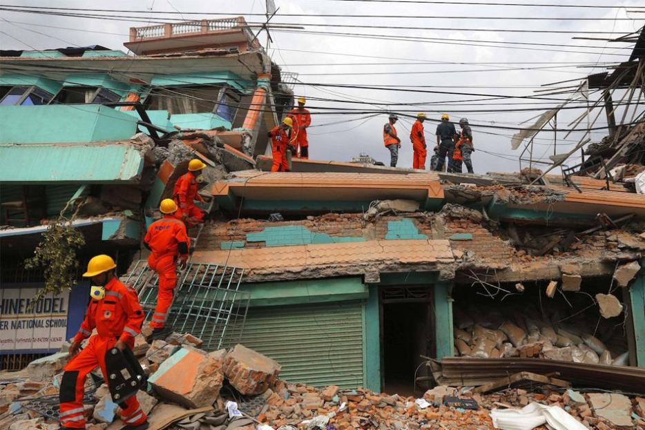
2010 Haiti Earthquake:
- Satellite imagery was used to identify damaged buildings and infrastructure, guiding search and rescue operations.
- SAR data was used for flood mapping and damage detection, aiding in the assessment of the disaster's impact.
- Integration of satellite data with population data facilitated targeted evacuation planning and relief distribution.
2013 Typhoon Haiyan:
- Satellite imagery was used for damage assessment and relief distribution, supporting the massive international response effort.
- Satellite data was used to monitor the movement of relief supplies, ensuring efficient and timely delivery to affected communities.
- Integration of satellite data with logistics data enabled optimized relief distribution, minimizing delays and maximizing impact.
Challenges And Limitations: Paving The Way For Improvement
Despite its immense value, the use of satellite data in disaster management faces several challenges:
Data Availability and Accessibility:
- Limited availability of satellite data in some regions, particularly in developing countries, can hinder disaster response efforts.
- Challenges in accessing satellite data in real-time can delay the provision of critical information during disasters.
Data Quality and Accuracy:
- Issues with the resolution and accuracy of satellite data can affect the reliability of the information derived from it.
- Challenges in interpreting satellite data correctly can lead to misinterpretations and ineffective disaster response.
Data Integration and Analysis:
- Challenges in integrating satellite data with other data sources, such as ground-based observations and social media data, can limit the comprehensiveness of disaster response efforts.
- The need for specialized software and expertise for data analysis can hinder the timely and effective use of satellite data in disaster management.
Conclusion: A Path Forward
Satellite data has revolutionized disaster management, providing invaluable information for damage assessment, evacuation planning, and relief distribution. However, challenges remain in data availability, quality, and integration. By addressing these challenges and investing in satellite data infrastructure and capacity building, we can harness the full potential of satellite data to save lives and mitigate the impact of disasters.
As technology continues to advance, the future of satellite data use in disaster management holds immense promise. With the development of more sophisticated satellites, improved data processing techniques, and enhanced integration with other data sources, satellite data will become an even more powerful tool for disaster response, enabling us to respond to crises more effectively and efficiently.
YesNo

Leave a Reply