Analyzing the Impact of Satellite Data on Disaster Management Policies and Practices
In the face of increasing frequency and severity of natural disasters, satellite data has emerged as a powerful tool to enhance disaster management capabilities. This article delves into the applications of satellite data in disaster management and analyzes its impact on policies and practices at various levels.
Satellite Data For Disaster Management
Satellite data encompasses a wide range of information collected from Earth observation satellites. These satellites capture optical, radar, and thermal imagery, providing valuable insights into the Earth's surface and atmospheric conditions. The advantages of satellite data lie in its wide coverage, high resolution, and near-real-time availability, making it an invaluable resource for disaster management.
Applications Of Satellite Data In Disaster Management
Satellite data plays a crucial role in various phases of disaster management:
- Pre-disaster: Satellite data is used to identify vulnerable areas, conduct land use planning, and assess risk. By analyzing historical data and identifying patterns, disaster-prone areas can be mapped, and appropriate mitigation measures can be implemented.
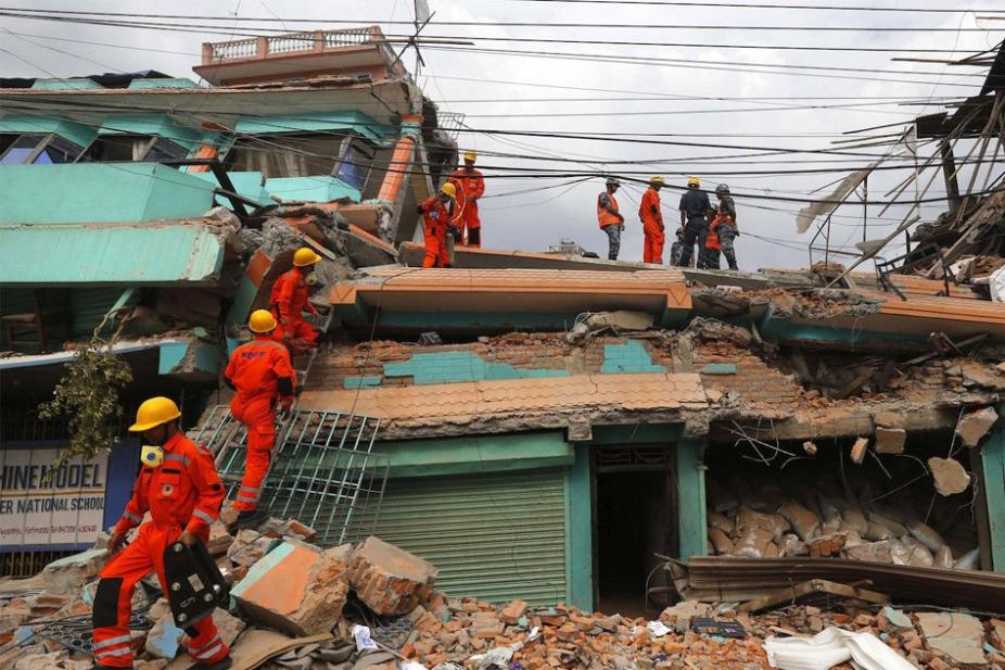
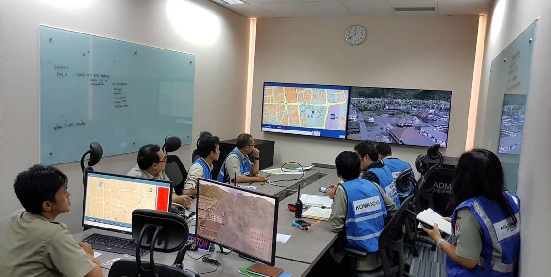
- During disaster: Satellite data provides real-time monitoring of the extent and severity of disasters. It helps track the movement of storms, floods, and wildfires, enabling early warning systems and timely evacuation. Satellite imagery also aids in coordinating relief efforts by providing information on infrastructure damage, accessibility of roads, and the location of affected populations.
- Post-disaster: Satellite data is used for damage assessment, recovery monitoring, and long-term planning. It helps identify areas that require immediate attention, assess the extent of damage to infrastructure and agriculture, and monitor the progress of recovery efforts. Satellite data also supports long-term planning by identifying areas suitable for reconstruction and resettlement.
Impact Of Satellite Data On Disaster Management Policies And Practices
The use of satellite data has significantly influenced disaster management policies and practices at local, regional, and international levels:
- Improved Preparedness: Satellite data has enabled the development of more accurate and timely early warning systems. This has led to better preparedness, allowing communities to take proactive measures to mitigate the impact of disasters.
- Enhanced Response: Satellite data provides real-time information during disasters, enabling faster and more coordinated response efforts. It helps identify the most affected areas, prioritize resource allocation, and guide relief operations.
- Effective Recovery: Satellite data supports post-disaster recovery by providing information on the extent of damage, identifying areas suitable for reconstruction, and monitoring the progress of recovery efforts. This information helps governments and organizations allocate resources efficiently and plan for long-term recovery.
Challenges And Limitations
Despite the significant benefits, the use of satellite data in disaster management also faces challenges:
- Data Accessibility: Access to satellite data can be limited due to cost, technical expertise, and data sharing policies. This can hinder the effective use of satellite data in disaster management, particularly in developing countries.
- Data Interpretation: Interpreting satellite data requires specialized knowledge and expertise. The lack of trained personnel can limit the effective utilization of satellite data for disaster management.
- Data Integration: Integrating satellite data with other sources of information, such as ground-based observations and social media data, can be challenging. This can limit the comprehensive analysis of disaster impacts and hinder decision-making.
Future Directions And Recommendations
To further enhance the use of satellite data in disaster management, several recommendations can be made:
- Investment in Satellite Technology: Continued investment in satellite technology is crucial to improve data quality, resolution, and coverage. This will enable more accurate and timely information for disaster management.
- Capacity Building: Training and capacity building programs should be provided to disaster management agencies and personnel to enhance their skills in accessing, interpreting, and utilizing satellite data.
- Data Sharing and Collaboration: International cooperation and data sharing agreements should be promoted to ensure that satellite data is accessible to all countries, particularly those vulnerable to disasters.
- Integration with Other Data Sources: Efforts should be made to integrate satellite data with other sources of information, such as ground-based observations, social media data, and historical records. This will provide a more comprehensive understanding of disaster impacts and support better decision-making.

Satellite data has revolutionized disaster management by providing valuable information for preparedness, response, and recovery efforts. Its impact on policies and practices has been significant, leading to improved early warning systems, more effective response mechanisms, and efficient recovery planning. As technology continues to advance and data accessibility improves, satellite data will play an increasingly critical role in mitigating the impacts of natural disasters and saving lives.
YesNo

Leave a Reply