How Can Satellite Data Be Used to Improve Food Security?
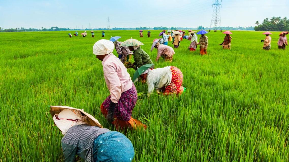
Food security is a global challenge that affects billions of people worldwide. Ensuring access to adequate and nutritious food for a growing population requires innovative solutions and technologies. Satellite data has emerged as a powerful tool that can be leveraged to enhance food security through various applications.
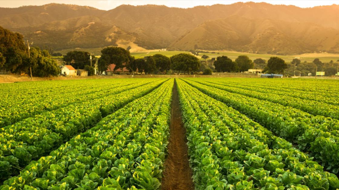
Satellite Data For Crop Monitoring:
Satellite imagery provides valuable information for monitoring crop growth and health. By analyzing satellite data, experts can:
- Map crop types and estimate acreage, enabling better planning and resource allocation.
- Monitor crop health and identify areas of stress or disease, allowing for timely interventions.
- Forecast crop yields and provide early warning systems for potential crop failures, helping farmers make informed decisions.
Satellite Data For Land Use And Management:
Satellite data can be used to optimize land use and management practices for sustainable agriculture:
- Classify land use and identify agricultural areas, aiding in land use planning and policymaking.
- Monitor land degradation and deforestation, enabling proactive measures to protect agricultural land.
- Optimize land use practices by identifying areas suitable for different crops and implementing sustainable farming techniques.
Satellite Data For Water Resources Management:
Satellite data plays a crucial role in managing water resources for agriculture:
- Monitor surface water bodies and irrigation systems, ensuring efficient water distribution and preventing water scarcity.
- Assess water availability and predict droughts, enabling farmers to plan irrigation schedules and mitigate the impact of water shortages.
- Improve water use efficiency by identifying areas with high water consumption and implementing water-saving technologies.
Satellite Data For Climate Change Adaptation:
Satellite data is essential for understanding and adapting to the impacts of climate change on agriculture:
- Monitor climate variables such as temperature, precipitation, and soil moisture, providing insights into changing climate patterns.
- Assess the impact of climate change on agricultural productivity, helping farmers adapt their practices to changing conditions.
- Develop adaptation strategies to mitigate the effects of climate change, such as implementing drought-resistant crops and improving irrigation systems.
Satellite Data For Food Distribution And Logistics:
Satellite data can enhance food distribution and logistics, reducing food waste and improving access to food:
- Track food transportation and distribution networks, ensuring efficient movement of food from farms to markets.
- Identify areas with poor access to food and improve supply chain efficiency, reducing food insecurity.
- Reduce food waste and loss by optimizing food distribution and identifying areas with high food spoilage.
Challenges And Limitations Of Satellite Data For Food Security:
Despite its potential, satellite data faces several challenges:
- Data availability, accessibility, and cost can limit the widespread use of satellite data.
- Technical capacity and expertise are required for analyzing and interpreting satellite data.
- Integrating satellite data with other sources of information, such as ground-based data, can be challenging.
Satellite data has the potential to revolutionize food security efforts globally. By providing valuable information on crop monitoring, land use management, water resources management, climate change adaptation, and food distribution, satellite data empowers decision-makers, farmers, and organizations to address food security challenges effectively. Increased investment in satellite technology and capacity building are crucial to harness the full potential of satellite data and achieve food security for all.
YesNo

Leave a Reply