How Can I Access Satellite Data for Land Use Analysis?
Satellite data is a valuable resource for land use analysis, providing detailed information about the Earth's surface. This article will provide an overview of the different types of satellite data available, how to access it, and how to use it for land use analysis.
Types Of Satellite Data
There are three main types of satellite data that are commonly used for land use analysis:
- Optical imagery: This type of data is collected by satellites that use visible light to create images of the Earth's surface. Optical imagery can be used to identify land cover types, such as forests, grasslands, and urban areas.
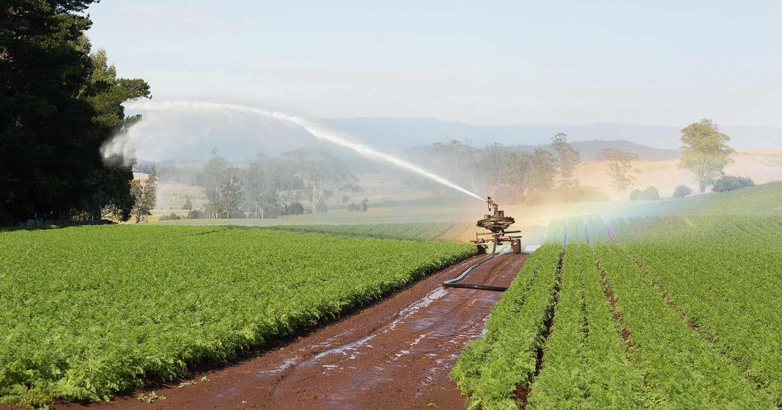
- Radar imagery: This type of data is collected by satellites that use radar waves to create images of the Earth's surface. Radar imagery can be used to identify land use patterns, such as agricultural fields and transportation networks.
- Thermal imagery: This type of data is collected by satellites that use infrared sensors to measure the temperature of the Earth's surface. Thermal imagery can be used to identify areas of heat stress, such as urban heat islands.
Accessing Satellite Data
There are a number of different ways to access satellite data, including:
- Government agencies: Many government agencies, such as the United States Geological Survey (USGS) and the National Aeronautics and Space Administration (NASA), provide free or low-cost access to satellite data.
- Commercial providers: There are also a number of commercial providers that offer satellite data for purchase. Some of the most popular commercial providers include DigitalGlobe, Maxar, and Planet Labs.
- Open source projects: There are a number of open source projects that provide access to satellite data, such as the Sentinel-2 mission and the Landsat program.
Using Satellite Data For Land Use Analysis
Once you have accessed satellite data, you can use it to perform land use analysis. This can be done using a variety of software programs, such as:
- Geographic information systems (GIS): GIS software allows you to visualize and analyze satellite data. GIS software can be used to create maps, charts, and other visualizations that can help you to understand land use patterns.
- Remote sensing software: Remote sensing software allows you to extract information from satellite data, such as land cover and land use. Remote sensing software can be used to identify and classify land use features, such as forests, grasslands, and urban areas.
- Machine learning software: Machine learning software can be used to classify satellite data and identify land use patterns. Machine learning software can be trained on a set of labeled data to learn how to identify different land use features.
Satellite data is a valuable resource for land use analysis, providing detailed information about the Earth's surface. This article has provided an overview of the different types of satellite data available, how to access it, and how to use it for land use analysis.
YesNo

Leave a Reply