Satellite Data and Land Use Monitoring: A Critical Review
Land use monitoring is a critical component of sustainable land management, providing valuable insights into the dynamics of land use patterns and their impacts on the environment. The emergence of satellite data has revolutionized land use monitoring, offering a powerful tool for collecting accurate and timely information over large areas.
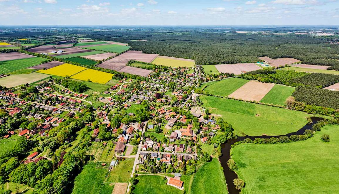
Satellite Data For Land Use Monitoring
Types Of Satellite Data
- Optical data: Obtained from sensors that measure visible and near-infrared light, providing information on land cover, vegetation, and urban areas.
- Radar data: Utilizes microwaves to penetrate clouds and vegetation, making it useful for monitoring land use changes in densely vegetated areas.
- Hyperspectral data: Captures hundreds of narrow spectral bands, enabling detailed analysis of land cover types and vegetation species.
- LiDAR data: Employs lasers to measure the elevation of the Earth's surface, providing valuable information on topography and land use.
Advantages And Limitations
- Advantages: Satellite data offers wide spatial coverage, repetitive observations, and the ability to monitor large areas at relatively low costs.
- Limitations: Satellite data can be affected by cloud cover, atmospheric conditions, and sensor limitations, leading to data gaps and uncertainties.
Data Acquisition And Pre-processing
Satellite data acquisition involves selecting appropriate sensors, scheduling observations, and downloading data from satellite operators. Pre-processing involves radiometric and geometric corrections, atmospheric correction, and mosaicking to create seamless datasets.
Techniques For Land Use Classification
Supervised Classification
- Maximum likelihood: A widely used method that assigns pixels to land use classes based on their spectral similarity to training samples.
- Support vector machines: A powerful machine learning algorithm that finds the optimal decision boundary between land use classes.
- Random forest: An ensemble learning method that combines multiple decision trees to improve classification accuracy.
Unsupervised Classification
- k-means clustering: A simple but effective method that groups pixels into clusters based on their spectral similarity.
- ISODATA: An iterative self-organizing data analysis algorithm that refines clusters based on statistical properties.
- Fuzzy c-means: A soft clustering algorithm that allows pixels to belong to multiple classes with varying degrees of membership.
Object-Based Classification
- Segmentation: Divides the image into meaningful segments based on texture, color, and shape.
- Feature extraction: Computes various features for each segment, such as texture, shape, and spectral properties.
- Classification: Assigns segments to land use classes using supervised or unsupervised classification methods.
Deep Learning Methods
- Convolutional neural networks (CNNs): Powerful deep learning models that have achieved state-of-the-art results in land use classification.
- Recurrent neural networks (RNNs): Useful for classifying sequential data, such as time series of satellite images.
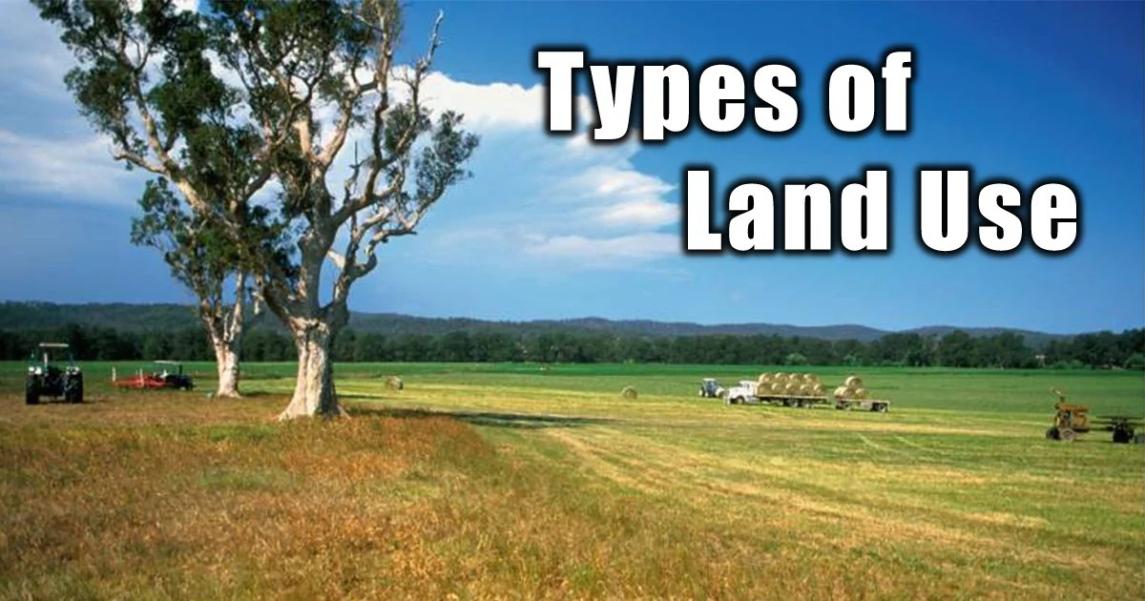
Applications Of Satellite Data In Land Use Monitoring
Land Cover Mapping
Satellite data is widely used to create land cover maps, which provide information on the distribution of different land cover types, such as forests, agricultural land, urban areas, and water bodies.
Land Use Change Detection
Satellite data enables the detection of land use changes over time, such as deforestation, urbanization, and agricultural expansion. This information is crucial for understanding the impacts of human activities on the environment.
Land Use Planning And Management
Satellite data supports land use planning and management by providing information for zoning, conservation, and infrastructure development.
Environmental Monitoring
Satellite data is used to monitor environmental changes, such as climate change impacts, natural disasters, and pollution.
Agricultural Monitoring
Satellite data is valuable for agricultural monitoring, including crop type mapping, yield estimation, and irrigation management.
Challenges And Future Directions
Data Availability And Accessibility
- Data gaps: Satellite data coverage can be limited by cloud cover, data acquisition schedules, and sensor limitations.
- Data costs: Access to high-resolution satellite data can be expensive, especially for large areas.
Data Processing And Analysis
- Computational requirements: Processing large volumes of satellite data requires powerful computing resources.
- Algorithm selection: Choosing the appropriate classification algorithm for a specific application can be challenging.
Integration Of Satellite Data With Other Data Sources
- GIS data: Integrating satellite data with GIS data, such as land use maps and census data, can enhance land use analysis.
- Field surveys: Combining satellite data with field surveys can improve the accuracy of land use classification.
Emerging Trends
- Big data analytics: The increasing availability of satellite data calls for big data analytics techniques to extract valuable insights.
- Machine learning: Machine learning algorithms are increasingly used for land use classification and change detection.
- Cloud computing: Cloud computing platforms provide scalable and cost-effective solutions for processing large volumes of satellite data.
Satellite data has revolutionized land use monitoring, providing valuable information for sustainable land management. The integration of satellite data with other data sources and the application of advanced data processing techniques have significantly improved the accuracy and efficiency of land use monitoring. As satellite technology continues to advance and data becomes more accessible, satellite data will play an increasingly critical role in understanding and managing land use dynamics.
YesNo

Leave a Reply