How Can Satellite Data Be Used to Monitor Deforestation and Forest Degradation?
Deforestation and forest degradation are major environmental issues that have significant impacts on biodiversity, climate change, and human well-being. Monitoring these processes is crucial for sustainable forest management and conservation. Satellite data provides a powerful tool for monitoring deforestation and forest degradation due to its ability to provide accurate and timely information over large areas.
The Role Of Satellite Data In Monitoring Deforestation And Forest Degradation
Satellite data can be used to monitor deforestation and forest degradation in several ways:
- Forest Cover Change Detection: Satellite data can be used to detect changes in forest cover over time by comparing images taken at different points in time. This information can be used to identify areas where deforestation or forest degradation has occurred.
- Forest Degradation Assessment: Satellite data can be used to assess the extent and severity of forest degradation by analyzing changes in forest structure, composition, and health. This information can be used to identify areas in need of restoration and to monitor the effectiveness of forest management practices.
- Carbon Emissions Estimation: Satellite data can be used to estimate carbon emissions from deforestation and forest degradation by measuring changes in forest biomass. This information is crucial for monitoring climate change and supporting REDD+ initiatives.
Applications Of Satellite Data In Deforestation And Forest Degradation Monitoring
Satellite data has been used in a variety of applications related to deforestation and forest degradation monitoring, including:
- Forest Cover Change Detection: Satellite data has been used to detect deforestation and forest degradation in various regions of the world, including the Amazon rainforest, the Congo Basin, and Southeast Asia. This information has been used to raise awareness about the extent and severity of these issues and to inform policy and decision-making.
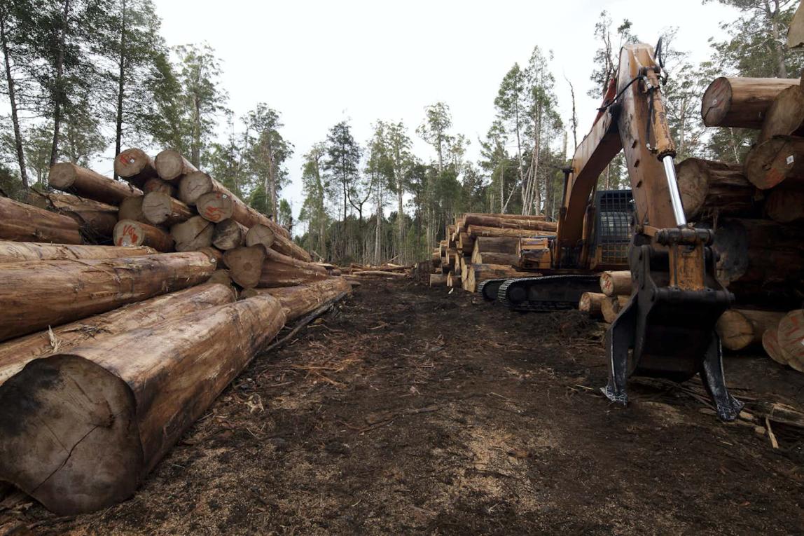
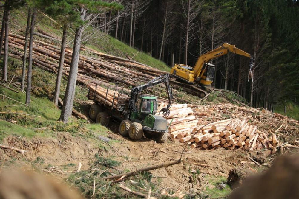
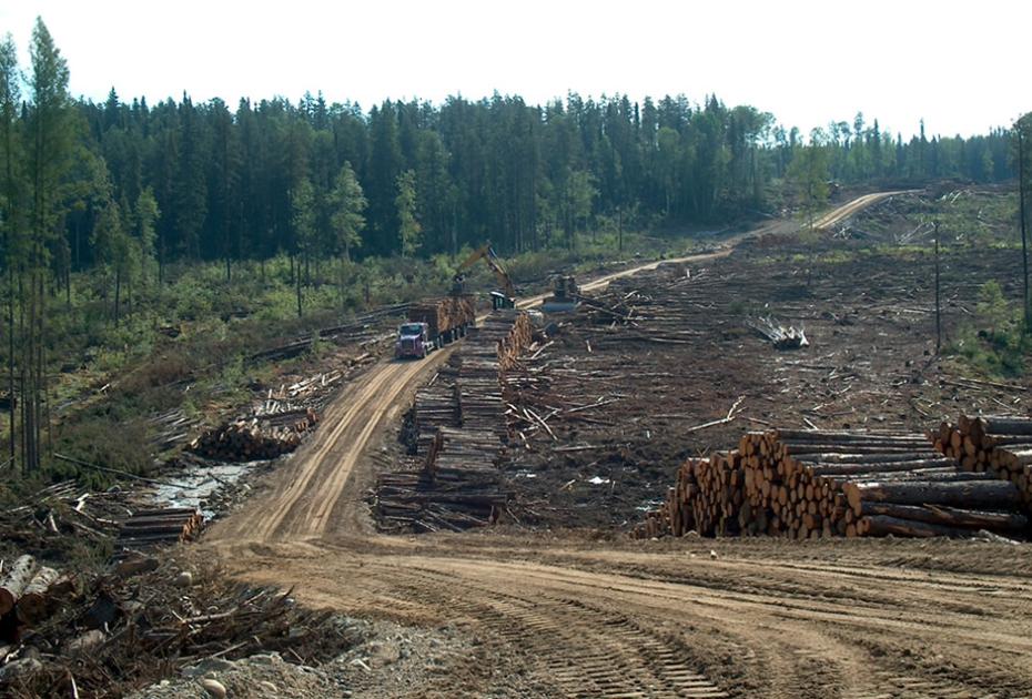
- Forest Degradation Assessment: Satellite data has been used to assess forest degradation in areas affected by logging, mining, and agricultural expansion. This information has been used to identify areas in need of restoration and to monitor the effectiveness of forest management practices.
- Carbon Emissions Estimation: Satellite data has been used to estimate carbon emissions from deforestation and forest degradation in various regions of the world. This information has been used to monitor climate change and to support REDD+ initiatives aimed at reducing emissions from deforestation and forest degradation.
Challenges And Limitations Of Using Satellite Data For Deforestation And Forest Degradation Monitoring
There are several challenges and limitations associated with using satellite data for deforestation and forest degradation monitoring:
- Data Availability and Accessibility: Accessing and obtaining satellite data can be challenging, particularly in developing countries. Data availability may be limited due to factors such as cloud cover, data costs, and data sharing policies.
- Data Processing and Analysis: Processing and analyzing satellite data requires specialized software and expertise. This can be a challenge for organizations with limited resources or technical capacity.
- Accuracy and Reliability: Ensuring the accuracy and reliability of satellite data is crucial for effective monitoring. Factors such as atmospheric conditions, sensor calibration, and image resolution can affect the accuracy of satellite data.
Satellite data is a valuable tool for monitoring deforestation and forest degradation. It provides accurate and timely information over large areas, enabling the detection of changes in forest cover, assessment of forest degradation, and estimation of carbon emissions. However, challenges related to data availability, processing, and accuracy need to be addressed to fully harness the potential of satellite data for deforestation and forest degradation monitoring.
Future research and development efforts should focus on improving data availability and accessibility, developing user-friendly data processing tools, and enhancing the accuracy and reliability of satellite data. By addressing these challenges, we can improve the effectiveness of satellite data in supporting sustainable forest management and conservation efforts.
YesNo

Leave a Reply