How Can Satellite Data Be Used to Support Sustainable Development?
Satellite data has become an invaluable tool for supporting sustainable development efforts worldwide. This article explores the various ways in which satellite data can be used to monitor and track progress towards achieving sustainable development goals.

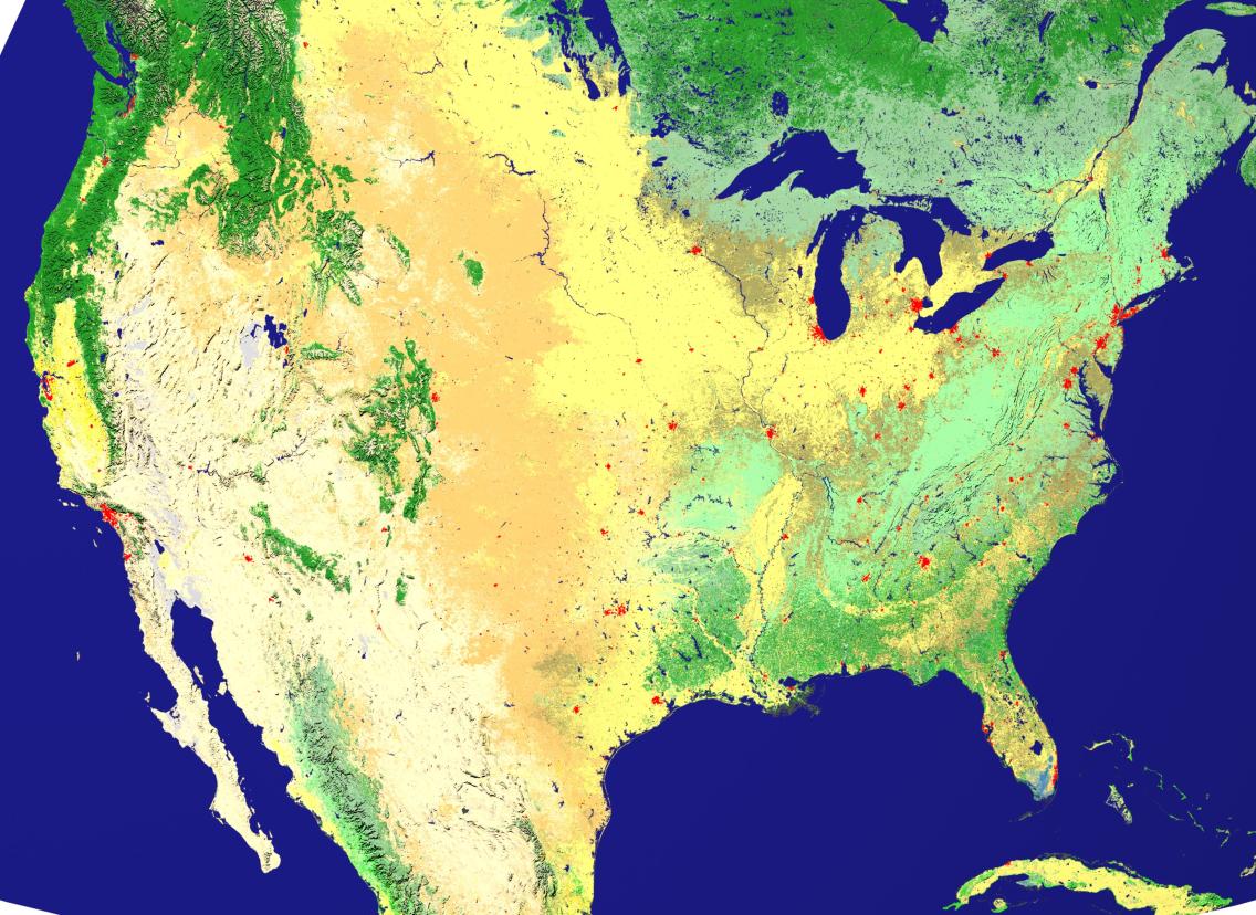
1. Monitoring Environmental Changes:
Satellite data can be used to monitor environmental changes, such as deforestation, land degradation, and water pollution. This information can help policymakers develop strategies to protect and conserve natural resources.
- Satellite data can provide real-time information on deforestation and forest degradation, allowing policymakers to take timely action to protect forests.
- Satellite data can help identify areas at risk of land degradation, enabling policymakers to implement measures to prevent or mitigate land degradation.
- Satellite data can monitor water quality and identify sources of water pollution, helping policymakers develop strategies to reduce water pollution and protect water resources.
2. Climate Change Monitoring:
Satellite data can be used to monitor climate change impacts, such as rising sea levels, melting glaciers, and changes in vegetation. This information can help policymakers develop strategies to mitigate climate change and adapt to its impacts.
- Satellite data can provide accurate measurements of sea level rise, helping policymakers develop strategies to protect coastal communities from sea level rise impacts.
- Satellite data can monitor the melting of glaciers and ice sheets, providing valuable information for understanding the impacts of climate change on the cryosphere.
- Satellite data can track changes in vegetation, such as the expansion of deserts and the greening of the Arctic, helping scientists understand the impacts of climate change on ecosystems.
3. Disaster Management:
Satellite data can be used to monitor natural disasters, such as hurricanes, floods, and earthquakes. This information can help disaster management agencies respond quickly and effectively to emergencies.
- Satellite data can provide real-time information on the location and intensity of natural disasters, enabling disaster management agencies to issue early warnings and evacuate affected areas.
- Satellite data can help assess the extent of damage caused by natural disasters, allowing disaster management agencies to prioritize relief efforts and allocate resources efficiently.
- Satellite data can be used to monitor the recovery of affected areas after a natural disaster, helping disaster management agencies track progress and ensure that recovery efforts are effective.
4. Agriculture And Food Security:
Satellite data can be used to monitor crop growth, soil moisture, and weather conditions. This information can help farmers make informed decisions about planting, irrigation, and harvesting.
- Satellite data can provide farmers with information on the optimal time to plant crops, helping them maximize yields and reduce the risk of crop failure.
- Satellite data can help farmers monitor soil moisture levels, enabling them to irrigate crops efficiently and avoid overwatering or underwatering.
- Satellite data can provide farmers with information on weather conditions, such as the likelihood of droughts or floods, helping them prepare for and mitigate the impacts of adverse weather events.
5. Water Resources Management:
Satellite data can be used to monitor water resources, such as surface water bodies, groundwater aquifers, and glaciers. This information can help policymakers develop strategies to manage water resources sustainably.
- Satellite data can provide information on the extent and volume of surface water bodies, helping policymakers develop strategies to protect and conserve water resources.
- Satellite data can help monitor groundwater aquifers, providing valuable information for understanding the availability and quality of groundwater resources.
- Satellite data can track the melting of glaciers and ice sheets, helping policymakers develop strategies to adapt to the impacts of climate change on water resources.
6. Urban Planning And Development:

Satellite data can be used to monitor urban growth, land use changes, and infrastructure development. This information can help urban planners develop sustainable cities and communities.
- Satellite data can provide information on the extent and density of urban areas, helping urban planners develop strategies to manage urban growth and prevent urban sprawl.
- Satellite data can help monitor land use changes, enabling urban planners to identify areas at risk of deforestation or other forms of land degradation.
- Satellite data can track infrastructure development, such as the construction of roads, bridges, and buildings, helping urban planners ensure that infrastructure development is sustainable and meets the needs of the growing population.
7. Sustainable Energy:
Satellite data can be used to monitor renewable energy sources, such as solar and wind power. This information can help policymakers develop strategies to promote the use of sustainable energy sources.
- Satellite data can provide information on the availability and potential of renewable energy resources, such as solar radiation and wind speed, helping policymakers identify areas suitable for renewable energy development.
- Satellite data can help monitor the performance of renewable energy installations, such as solar panels and wind turbines, enabling policymakers to assess the effectiveness of renewable energy policies and make adjustments as needed.
- Satellite data can track the integration of renewable energy sources into the electricity grid, helping policymakers ensure that the grid is able to accommodate the increasing share of renewable energy.
Satellite data is a powerful tool that can be used to support sustainable development efforts worldwide. By providing timely and accurate information about the environment, climate change, and other critical issues, satellite data can help policymakers, businesses, and individuals make informed decisions that promote sustainability.
YesNo

Leave a Reply