What Are the Challenges in Using Satellite Data for Land Cover Classification?
Satellite data has revolutionized the field of land cover classification, providing valuable insights into the Earth's surface characteristics. However, the utilization of satellite data for this purpose is not without challenges. This article explores the key challenges associated with using satellite data for land cover classification, highlighting the complexities and limitations that researchers and practitioners face in this domain.

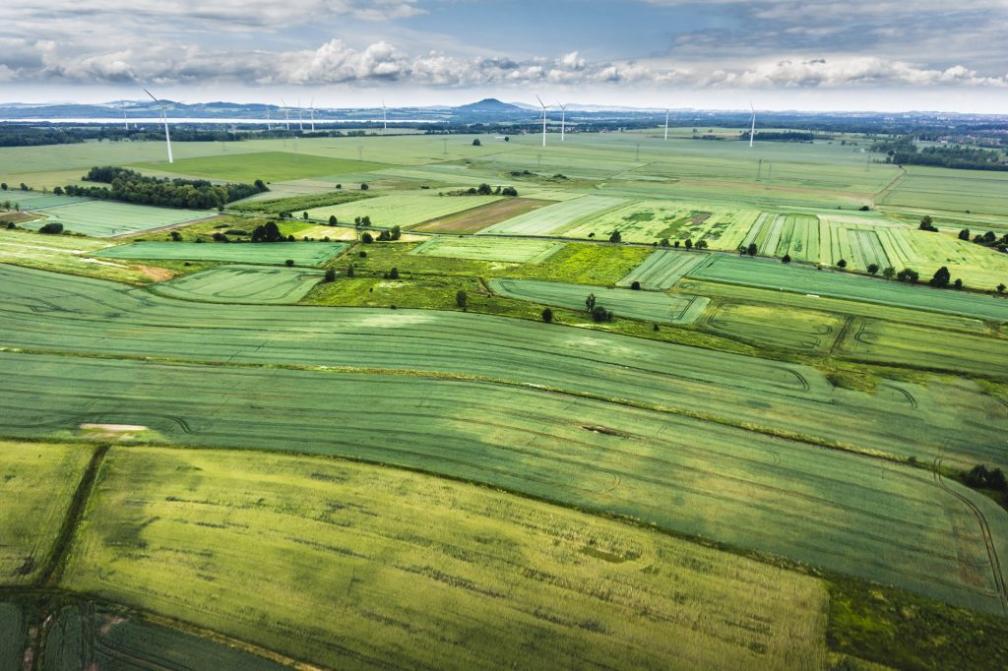
Challenges In Using Satellite Data For Land Cover Classification
1. Data Volume And Storage:
The sheer volume of data generated by satellites poses significant challenges in terms of storage and processing. Satellites continuously collect vast amounts of data, leading to storage and processing requirements that can be overwhelming for traditional IT infrastructure. Efficient data management and storage solutions are essential to handle this data deluge and ensure timely access to relevant information.
2. Data Quality And Preprocessing:
Satellite data is often affected by various factors that can compromise its quality, such as noise, atmospheric interference, and cloud cover. These factors can introduce errors and uncertainties into land cover classification results. Preprocessing techniques play a crucial role in enhancing data quality and reducing errors. These techniques include radiometric calibration, atmospheric correction, and cloud removal, among others.
3. Spectral Resolution And Mixed Pixels:

Spectral resolution refers to the ability of a satellite sensor to distinguish between different wavelengths of light. The coarser the spectral resolution, the less detailed the information about land cover types. Mixed pixels, where multiple land cover types are present within a single pixel, pose a challenge for classification algorithms, as they can lead to misclassification errors.
4. Temporal Resolution And Change Detection:
Temporal resolution refers to the frequency at which satellite data is acquired. High temporal resolution data is essential for monitoring land cover changes over time, such as deforestation or urbanization. However, obtaining high temporal resolution data can be challenging due to limitations in satellite capabilities and the trade-off between spatial and temporal resolution.
5. Spatial Resolution And Heterogeneity:
Spatial resolution refers to the size of a pixel in a satellite image. Coarse spatial resolution data may not be able to capture fine-scale land cover details, leading to inaccuracies in classification results. Heterogeneity, or the presence of multiple land cover types within a single pixel, can also pose challenges for classification algorithms.
6. Classification Algorithms And Accuracy Assessment:
A variety of classification algorithms are available for land cover classification, each with its own strengths and limitations. Selecting the most appropriate algorithm for a specific application is crucial to achieving accurate results. Accuracy assessment is essential to evaluate the performance of classification algorithms and ensure the reliability of the results. This involves comparing the classification results with reference data, such as ground truth data or high-resolution imagery.
The challenges associated with using satellite data for land cover classification are multifaceted and require careful consideration. Researchers and practitioners must navigate through data volume and storage issues, address data quality concerns, and overcome limitations related to spectral, temporal, and spatial resolution. By employing appropriate preprocessing techniques, selecting suitable classification algorithms, and conducting rigorous accuracy assessments, it is possible to mitigate these challenges and obtain accurate and reliable land cover classification results.
YesNo

Leave a Reply