How Can Satellite Data Help Us Understand Land Use Patterns?
Satellite data has revolutionized our ability to monitor and analyze land use patterns. By providing a comprehensive view of the Earth's surface, satellite data enables us to track changes in land cover, identify emerging trends, and make informed decisions about land use planning and management.
Types Of Satellite Data Used For Land Use Analysis
There are various types of satellite data used for land use analysis, each with its own unique characteristics and applications.
- Optical satellite data: This type of data captures visible and near-infrared light, providing detailed information about land cover and vegetation. Examples include Landsat series, Sentinel-2, and MODIS.
- Radar satellite data: Radar data penetrates clouds and darkness, making it useful for monitoring land use changes in areas with frequent cloud cover or nighttime conditions. Examples include Sentinel-1, ALOS PALSAR, and RADARSAT-2.
- Hyperspectral satellite data: Hyperspectral data captures hundreds of narrow spectral bands, providing detailed information about the chemical composition of land cover types. Examples include Hyperion, AVIRIS, and EnMAP.
Methods For Analyzing Satellite Data For Land Use Patterns
Various methods are employed to analyze satellite data for land use patterns. These methods include:
- Image classification: This process involves assigning land cover labels to each pixel in a satellite image. It can be supervised, where training data is used to guide the classification, or unsupervised, where the algorithm automatically identifies patterns in the data.
- Change detection: This technique compares satellite images taken at different times to identify changes in land cover. It can be used to monitor deforestation, urban expansion, and other land use changes.
- Land use modeling: This approach uses mathematical models to simulate land use changes based on various factors such as population growth, economic development, and environmental conditions.
Applications Of Satellite Data In Understanding Land Use Patterns
Satellite data has a wide range of applications in understanding land use patterns, including:
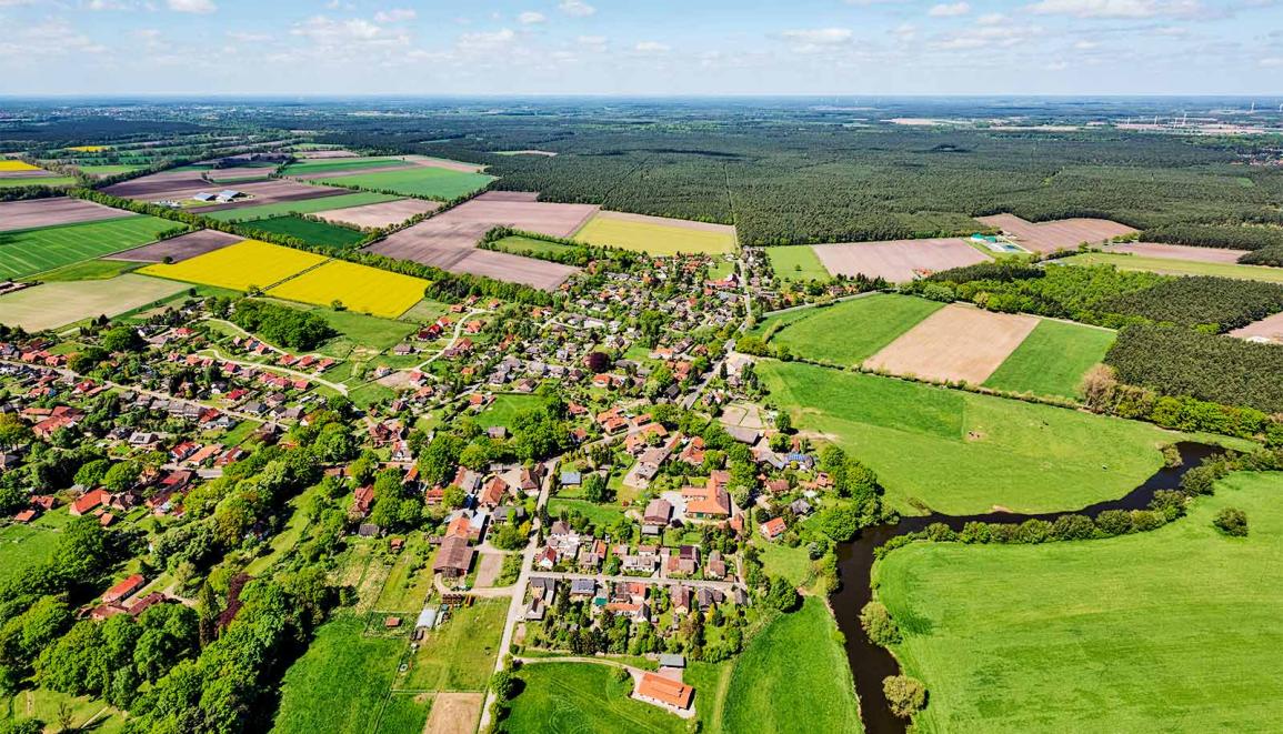
- Urban land use analysis: Satellite data can be used to identify urban sprawl, monitor urban growth, and assess urban land use change.
- Agricultural land use analysis: Satellite data can be used to map crop types, monitor crop health, and estimate agricultural productivity.
- Forest land use analysis: Satellite data can be used to monitor deforestation, assess forest degradation, and detect forest fires.
- Water resource management: Satellite data can be used to map water bodies, monitor water quality, and assess water use patterns.
Challenges And Limitations Of Using Satellite Data For Land Use Analysis

Despite its immense value, the use of satellite data for land use analysis is not without challenges and limitations. These include:
- Data availability and accessibility: Satellite data can be expensive and difficult to access, especially for developing countries.
- Data quality and resolution: The quality and resolution of satellite data can vary depending on the sensor and acquisition conditions.
- Cloud cover and atmospheric interference: Cloud cover and atmospheric conditions can interfere with satellite data acquisition and analysis.
- Data processing and analysis complexity: Processing and analyzing satellite data can be computationally intensive and require specialized skills and software.
Satellite data has become an indispensable tool for understanding land use patterns and addressing land use-related challenges. By providing comprehensive and timely information about land cover changes, satellite data enables us to make informed decisions about land use planning, management, and conservation. As satellite technology continues to advance, we can expect even more powerful and versatile applications of satellite data in the years to come.
YesNo

Leave a Reply