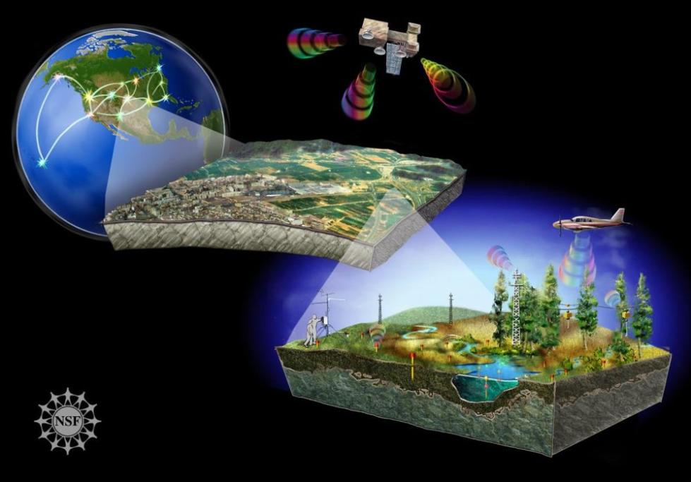
How Can Satellite Data Remote Sensing Be Used to Improve Public Health?
Satellite data remote sensing has emerged as a powerful tool with immense potential to revolutionize public health interventions and outcomes. By harnessing the capabilities of satellites to collect and analyze data from space, we can gain valuable insights into various environmental, social, and health-related factors that influence public health.
Applications Of Satellite Data Remote Sensing In Public Health
The applications of satellite data remote sensing in public health are diverse and far-reaching, encompassing various domains:
Environmental Monitoring:
- Air Quality Monitoring: Satellite data can measure air pollution levels, including particulate matter, nitrogen dioxide, and ozone, enabling targeted interventions to reduce respiratory illnesses.
- Water Quality Monitoring: Satellite data can detect water contamination, such as harmful algal blooms and oil spills, helping prevent waterborne diseases.
- Land Use and Land Cover Monitoring: Satellite data can identify areas at risk of deforestation or urbanization, which can impact public health by altering ecosystems and increasing exposure to pollutants.
Disease Surveillance:
- Vector-Borne Disease Monitoring: Satellite data can track mosquito habitats and predict disease outbreaks, such as malaria and dengue, facilitating early warning systems and targeted control measures.
- Infectious Disease Monitoring: Satellite data can identify areas with high disease transmission risk, such as for cholera and typhoid, allowing for targeted vaccination campaigns and preventive interventions.
Health Infrastructure Planning:
- Hospital and Clinic Distribution Analysis: Satellite data can identify underserved areas lacking adequate healthcare facilities, guiding healthcare infrastructure development and resource allocation.
- Access to Healthcare Analysis: Satellite data can assess transportation networks and identify barriers to healthcare access, such as distance, terrain, and infrastructure, informing policy and planning for improved healthcare accessibility.
Emergency Response and Disaster Management:
- Natural Disaster Monitoring: Satellite data can provide real-time information on natural disasters, such as floods, earthquakes, and wildfires, aiding relief efforts and damage assessment.
- Disease Outbreak Response: Satellite data can help track disease spread during outbreaks, such as influenza and Ebola, informing containment strategies and resource allocation.
Climate Change and Health Impact Assessment:
- Climate Change Monitoring: Satellite data can measure climate change-related variables, such as temperature, precipitation, and sea level rise, which impact public health through heatwaves, extreme weather events, and altered disease patterns.
- Health Impact Assessment: Satellite data can assess the health effects of climate change, such as increased heat-related illnesses, vector-borne diseases, and mental health impacts, guiding adaptation strategies and policies.
Challenges And Limitations Of Satellite Data Remote Sensing In Public Health
Despite its immense potential, satellite data remote sensing in public health faces several challenges and limitations:
- Data Accuracy and Reliability Issues: Satellite data can be affected by atmospheric conditions, sensor calibration errors, and data processing algorithms, leading to uncertainties and potential inaccuracies.
- Limited Spatial and Temporal Resolution: Satellite data may have limitations in spatial and temporal resolution, which can affect the ability to capture fine-scale variations or rapid changes in environmental or health parameters.
- Data Integration and Interoperability Challenges: Integrating satellite data with other data sources, such as ground-based observations and health records, can be challenging due to data format differences, data quality issues, and lack of standardized data sharing protocols.
- Ethical Considerations and Privacy Concerns: The use of satellite data for public health surveillance raises ethical considerations related to privacy, data security, and the potential for misuse or discrimination.
Satellite data remote sensing holds immense promise for improving public health by providing valuable insights into environmental, social, and health-related factors. By addressing the challenges and limitations, and fostering collaboration among scientists, policymakers, and public health professionals, we can harness the power of satellite data to revolutionize public health interventions, improve health outcomes, and promote healthier communities worldwide.

YesNo

Leave a Reply