Exploring the Ethical and Legal Considerations Surrounding Satellite Data GIS: Balancing Access and Privacy
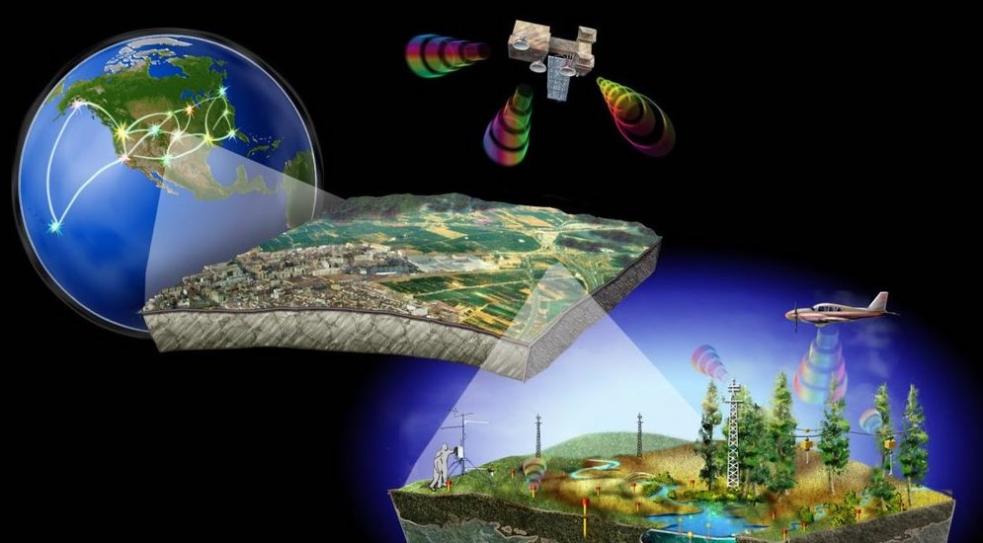
The advent of satellite data Geographic Information Systems (GIS) has revolutionized our ability to collect, analyze, and visualize data about the Earth's surface. This technology has wide-ranging applications in fields such as environmental monitoring, urban planning, agriculture, and disaster management. However, the use of satellite data GIS also raises a number of ethical and legal considerations, particularly in relation to privacy and data ownership.
Ethical Considerations
Privacy And Confidentiality
- Satellite data GIS has the potential to invade individual privacy by collecting detailed information about people's movements, activities, and even physical characteristics.
- Examples of privacy violations using satellite data include the tracking of individuals' movements without their consent, the identification of sensitive locations such as religious or political gatherings, and the monitoring of personal activities such as sunbathing or swimming.
- The ethical implications of using satellite data for surveillance are significant, as it raises concerns about the erosion of civil liberties and the potential for abuse by governments and other powerful entities.
Data Ownership And Control
- The collection and use of satellite data raise legal and ethical issues related to data ownership and control.
- Who owns the data collected by satellite sensors? Do individuals have rights over data collected about them? What are the ethical considerations regarding data sharing and dissemination?
- These questions are particularly relevant in the context of commercial satellite data providers, who may collect and sell data without the consent of the individuals or communities being surveilled.
Legal Considerations
Data Collection And Use Regulations
- The collection and use of satellite data are subject to a variety of laws and regulations at the national and international levels.
- These laws and regulations govern the types of data that can be collected, the purposes for which data can be used, and the safeguards that must be in place to protect privacy and other rights.
- However, the legal landscape surrounding satellite data GIS is complex and fragmented, and there are significant challenges in enforcing data protection laws, particularly in the context of跨境数据传输.
International Agreements And Treaties
- There are a number of international agreements and treaties that address the use of satellite data.
- These agreements and treaties set out the legal obligations of countries in sharing and using satellite data, and they also address issues such as data privacy and security.
- However, there are challenges in harmonizing international laws and regulations on satellite data GIS, and there is a need for greater cooperation and coordination among countries.
Balancing Access And Privacy
The Importance Of Access To Satellite Data
- Satellite data GIS provides valuable information that can be used to address a wide range of societal challenges.
- For example, satellite data has been used to monitor deforestation, track the spread of disease, and provide early warning of natural disasters.
- Ensuring equitable access to satellite data is essential for promoting sustainable development and addressing global issues such as climate change and poverty.
Mitigating Privacy Risks
- There are a number of technical and legal measures that can be taken to mitigate privacy risks associated with satellite data GIS.
- These measures include anonymizing and aggregating data, obtaining informed consent from individuals before collecting data, and implementing strong data security measures.
- By taking these steps, it is possible to balance the need for access to satellite data with the need to protect individual privacy.
The ethical and legal considerations surrounding satellite data GIS are complex and challenging. There is a need to balance the benefits of access to satellite data with the need to protect individual privacy and other rights. This requires a multi-stakeholder approach involving governments, industry, academia, and civil society. By working together, we can develop a framework for the responsible and ethical use of satellite data GIS that promotes sustainable development and respects human rights.
YesNo

Leave a Reply